Oregon Trail—Missouri to Oregon
Interactive Map
Planning Tips
There are many campgrounds within reasonable proximity of each stop. There are many more slightly further away. For more information, see the Campgrounds map.
If you are eligible to use military campgrounds, there are two near Boise. For more information, see the Military Campgrounds map.
Multiple destinations are part of this route. These include Kearney, Scottsbluff, Boise and the Columbia Valley.
All of the cities along this route will offer a full range of service and entertainment options.
Highlights
Trail sites cover about 2000 miles across six state. This recommended itinerary covers only a few major stops. With enough time and a little research along the way you can immerse yourself in the history of the trail. On modern highways, it is just over 1800 miles from Independence, Missouri to Fort Vancouver, Oregon. With perfect driving conditions, that can be traversed in something like 26 hours. I recommend you give this the time it deserves. Give it a minimum of two weeks.
Video
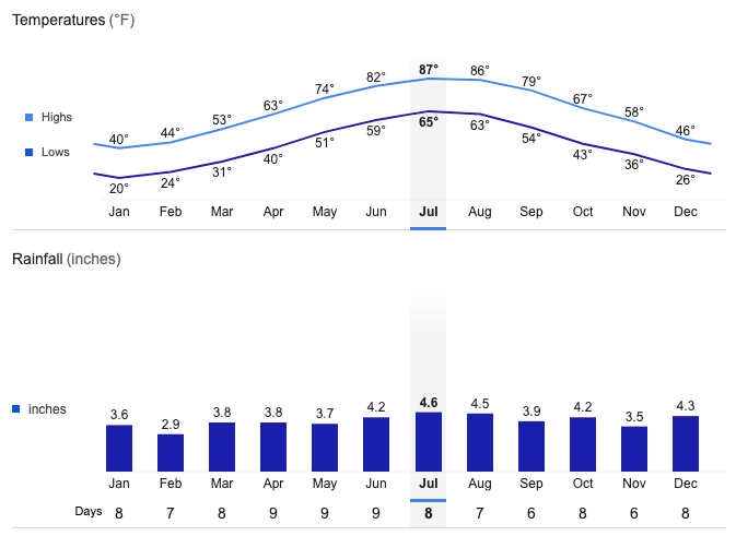
Fort Bridger Average Temperatures and Rainfall