Oregon Trail
Trail sites cover about 2000 miles across six state. This recommended itinerary covers only a few major stops. With enough time and a little research along the way you can immerse yourself in the history of the trail. On modern highways, it is just over 1800 miles from Independence, Missouri to Fort Vancouver, Oregon. With perfect driving conditions, that can be traversed in something like 26 hours. I recommend you give this the time it deserves. Give it a minimum of two weeks.
Stop 1—Independence, Missouri
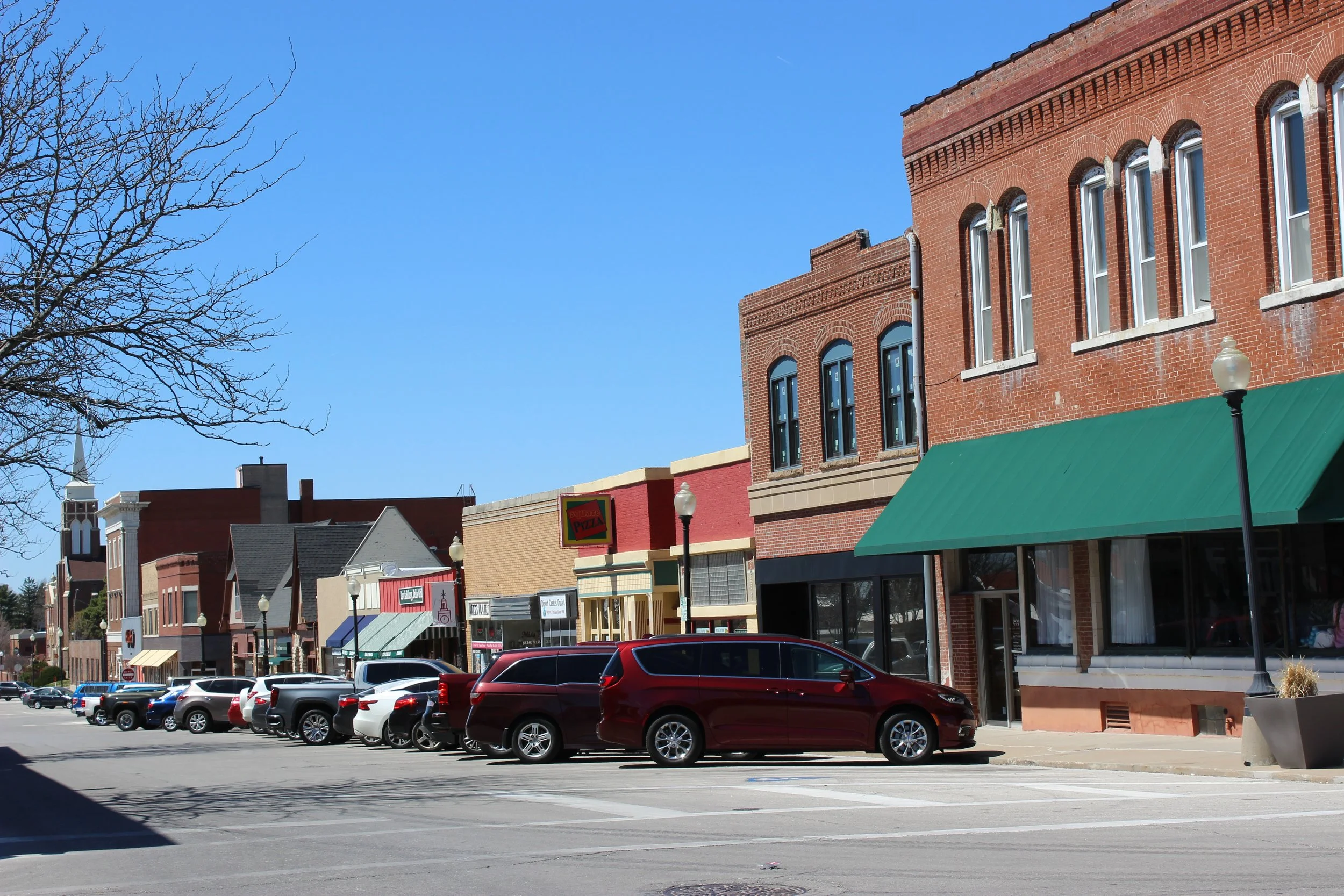
As the point of departure for the Oregon, Mormon and California Trails, Independence earned the nickname “Queen City of the Trails.” The National Frontier Trails Museum, in Independence, will help orient you at the start of your trip west.
Independence was also the home of President Harry S. Truman and contains his home and library that are managed by the national park service. So consider giving this a visit as long as you are in town.
Independence to Kearney—375 miles (606 km)—The trail went directly west though Topeka from Independence, so the miles are based on that route. If you prefer, there is a faster and slightly shorter route that goes north on Interstate 29 and then heads west on Interstate 80.
Stop 2—Fort Kearney State Historic Site, Nebraska
Fort Kearney was established in 1848 to protect travelers along the Oregon Trail and as a Pony Express Station. The fort was decommissioned in 1871 and what remains of the fort is now managed as a state historical park.
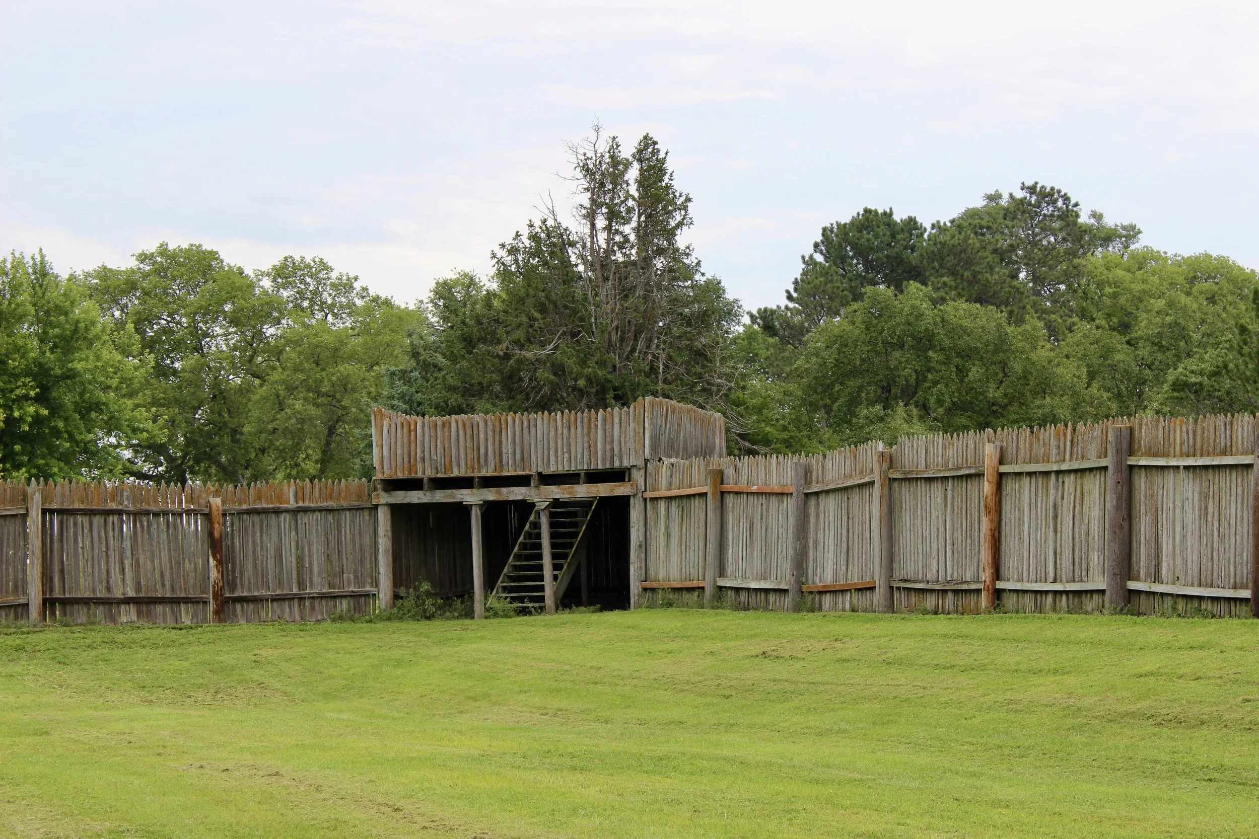
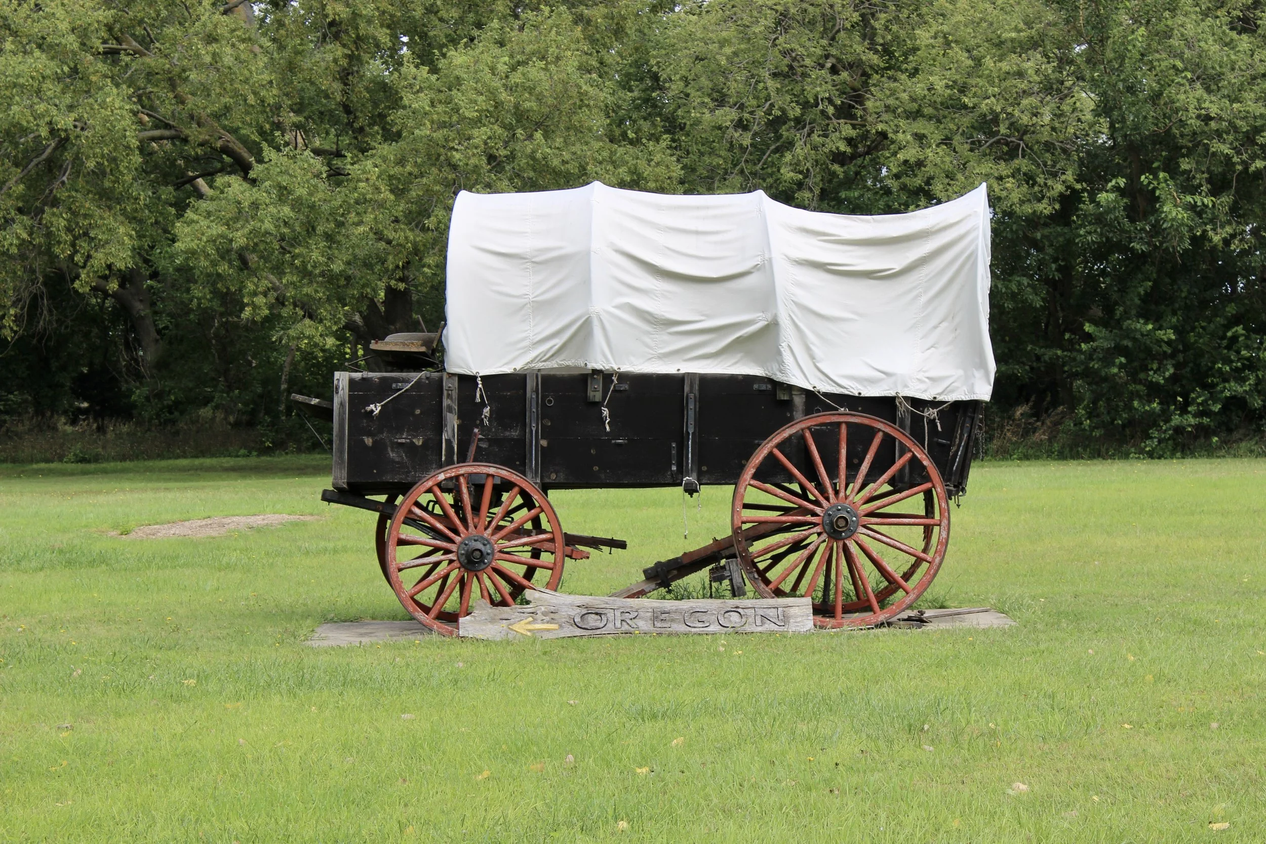
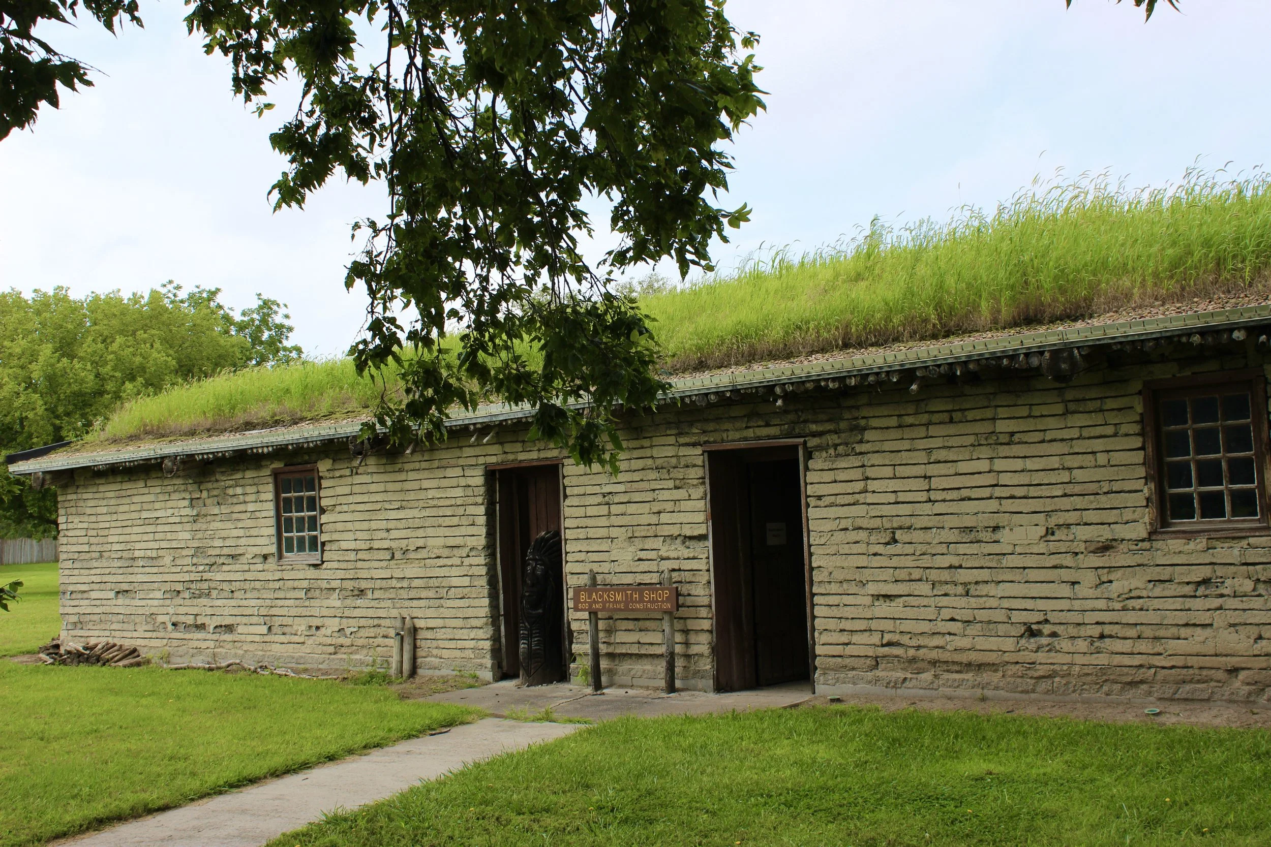
Another local site also helps interpret westward expansion. The Great Platte River Road Archway spans Interstate 80. The archway contains a museum that helps memorializes the many settlers who passed through Kearney and tells part of the story of this great migration.
Kearney to Scottsbluff—275 miles (445 km)
Stop 3—Scottsbluff National Monument—Nebraska
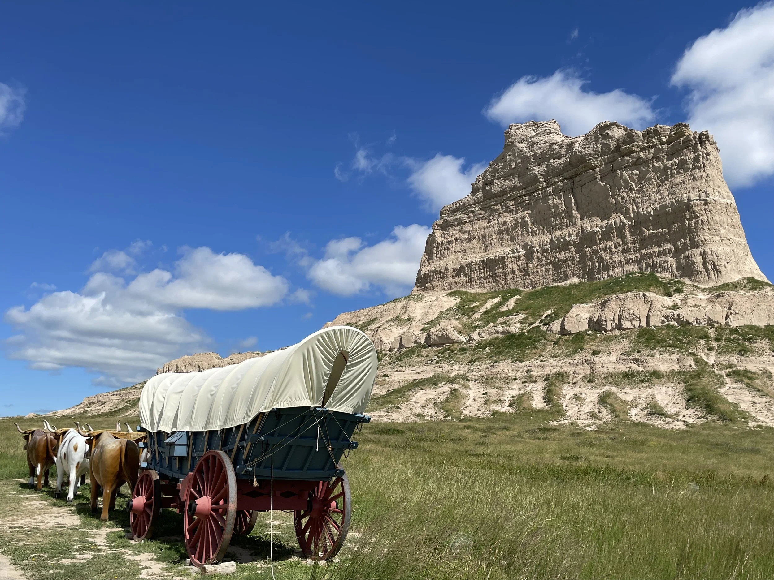
Remnants of the historic overland trail are preserved by the National Park Service at Scotts Bluff National Monument. The prominent bluff was one of the primary landmarks for pioneers on their journey west. It marked the end of the Great Plains, but the beginning of the arduous mountain crossing.
Just east of Scotts Bluff, Chimney Rock rises above the prairie and was another visible landmark on the journey west. The spire is preserved and interpreted by the Chimney Rock National Historic Site and should be another stop while you’re in the area.
Scottsbluff to Fort Laramie—60 miles (100 km)
Stop 4—Fort Laramie National Historic Site—Wyoming
Fort Laramie was known by several names and was primarily a fur trading outpost in the first half of the 19th century. In 1849, the fort was transferred to the army. At that point it became a frontier outpost until it was decommissioned in 1890. The remnants of the historic fort are preserved by the national park service.
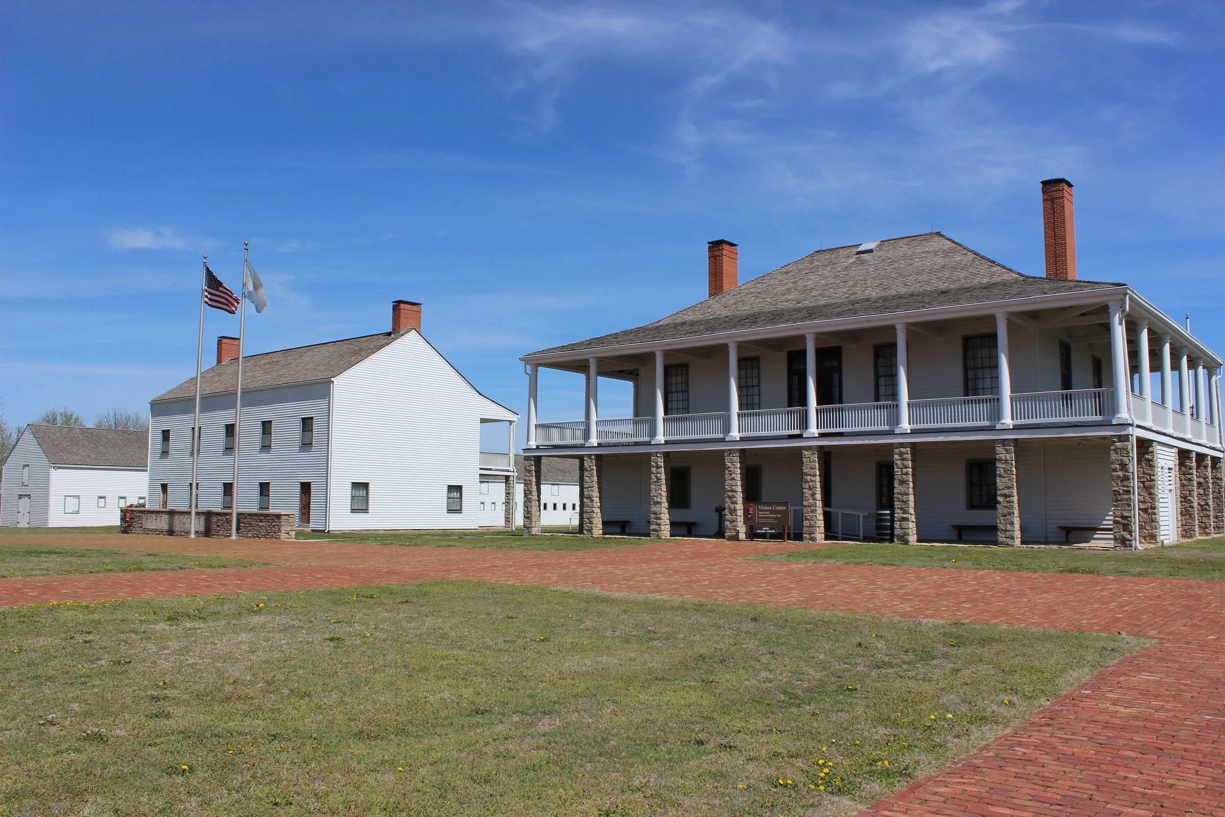
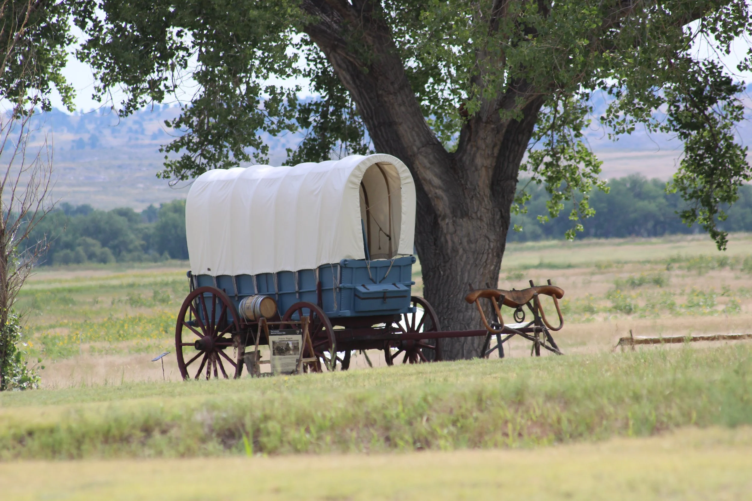
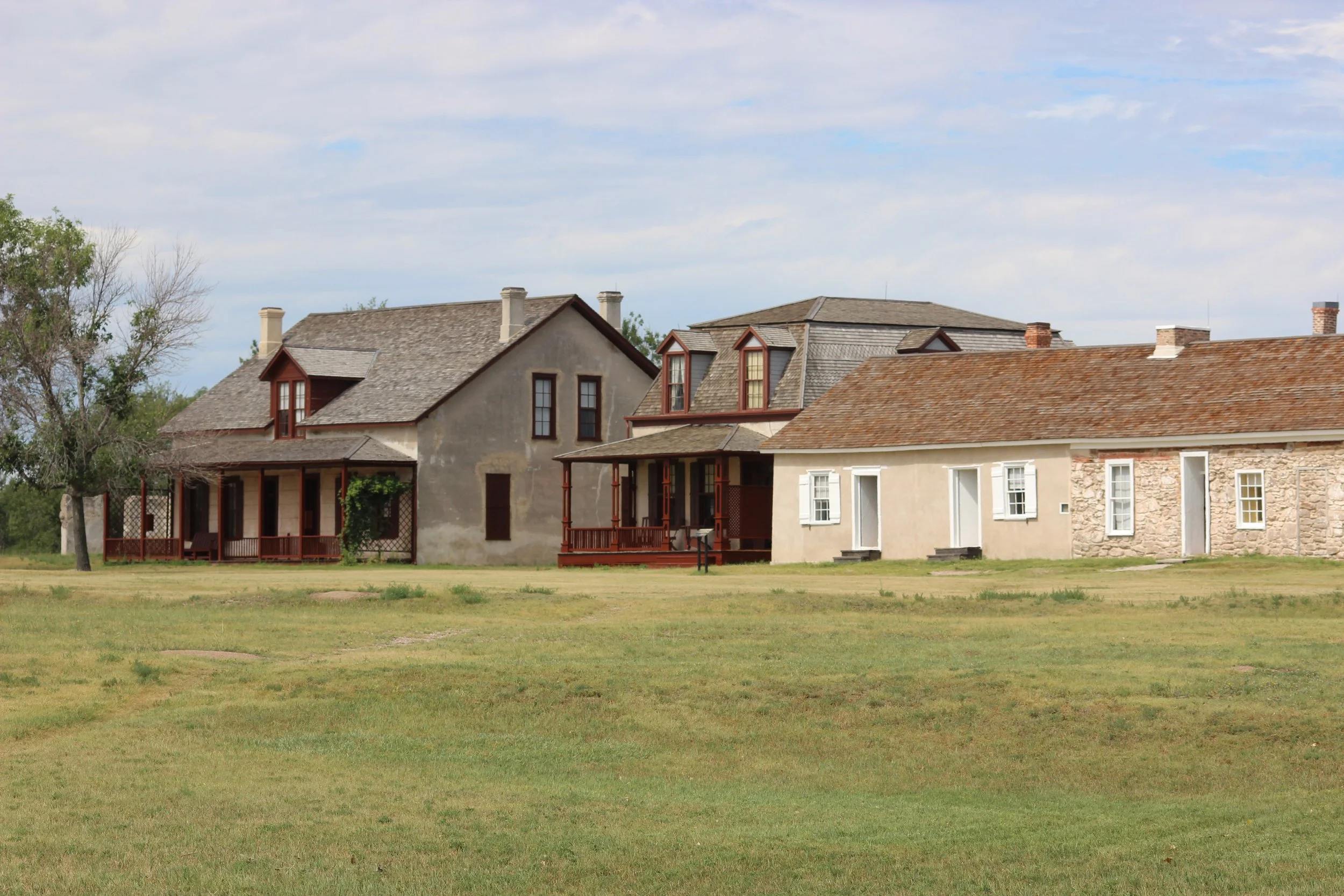
Fort Laramie to Independence Rock—180 miles (290 km)
Stop 5—Independence Rock State Historic Site—Wyoming
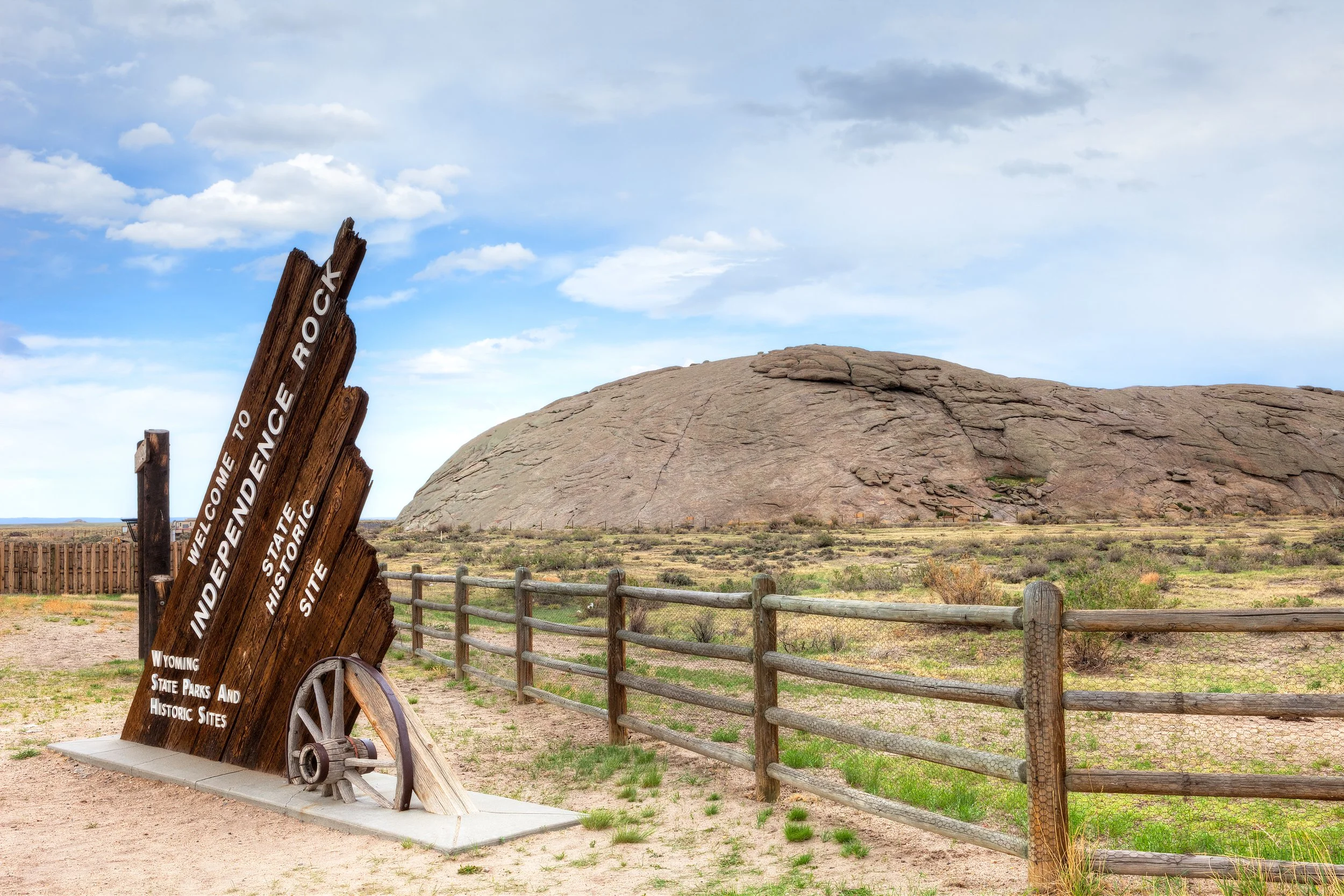
Independence Rock was a well known and unmistakable landmark for pioneers journeying west. This 130-foot-tall granite dome rests at the southern end of Wyoming’s Granite Mountains. The site has been set aside and is managed by the state of Wyoming as a historic site.
Independence Rock to Fort Bridger—245 miles (395 km)
Stop 6—Fort Bridger State Historic Site—Wyoming
Fort Bridger was originally established as a fur trading outpost until it was transferred to the army in 1858. During its lifetime, Fort Bridger was a major resupply point for the Oregon trail. It also provided security for the Union-Pacific Railroad and was a pony express stop before it closed in 1890.
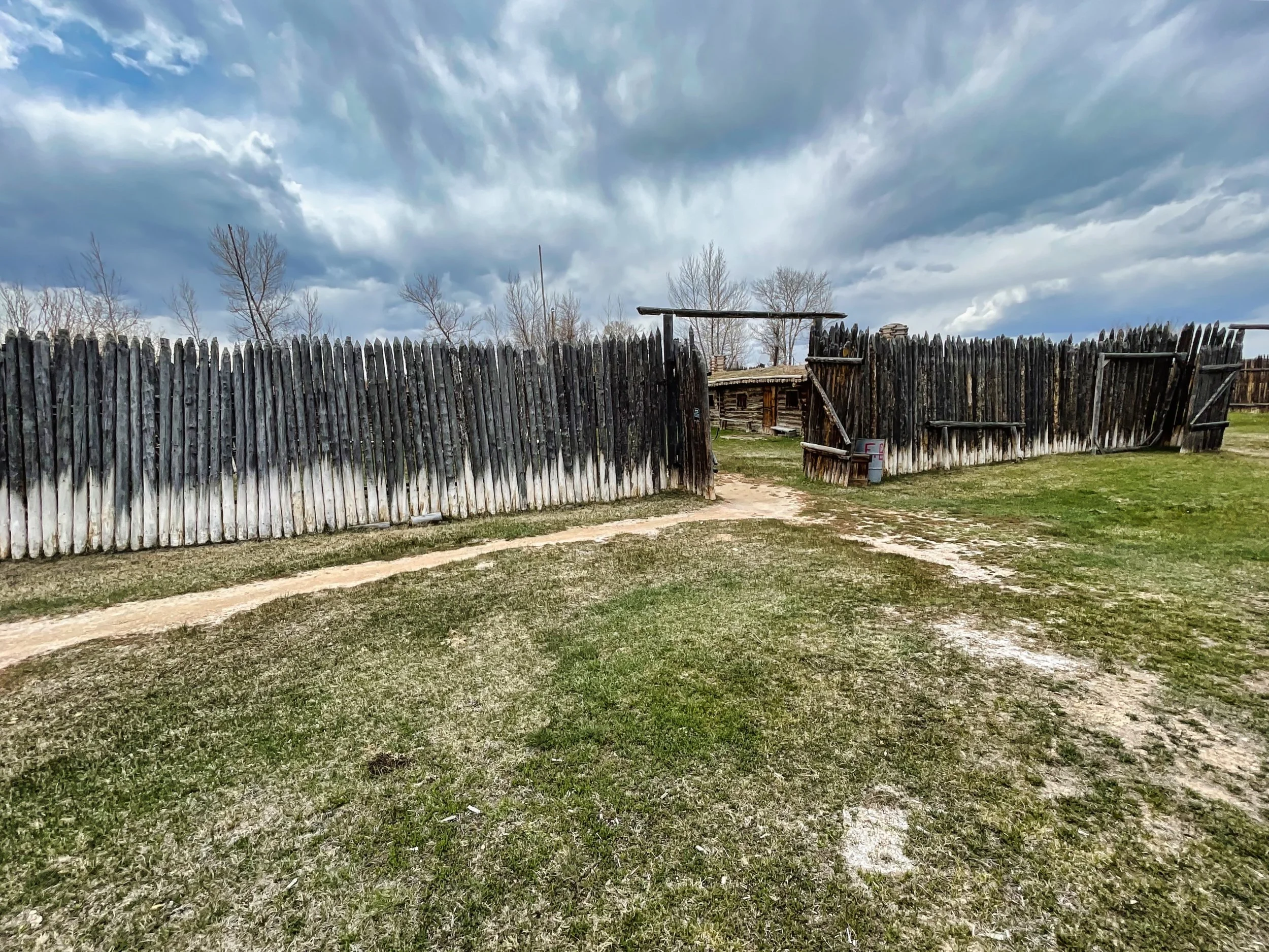
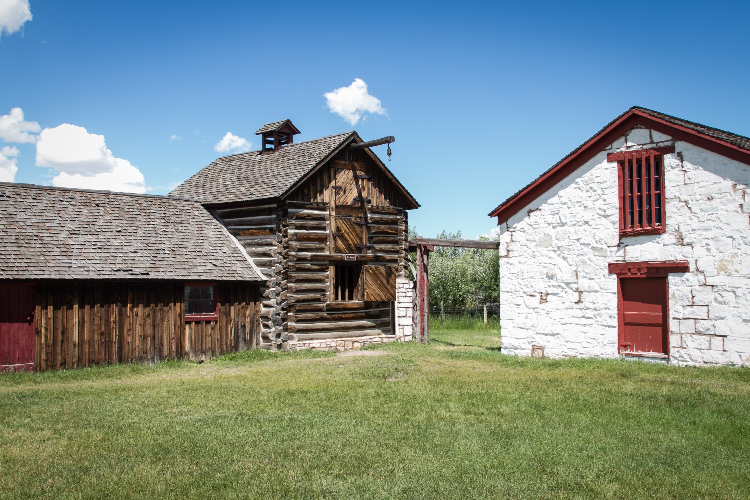
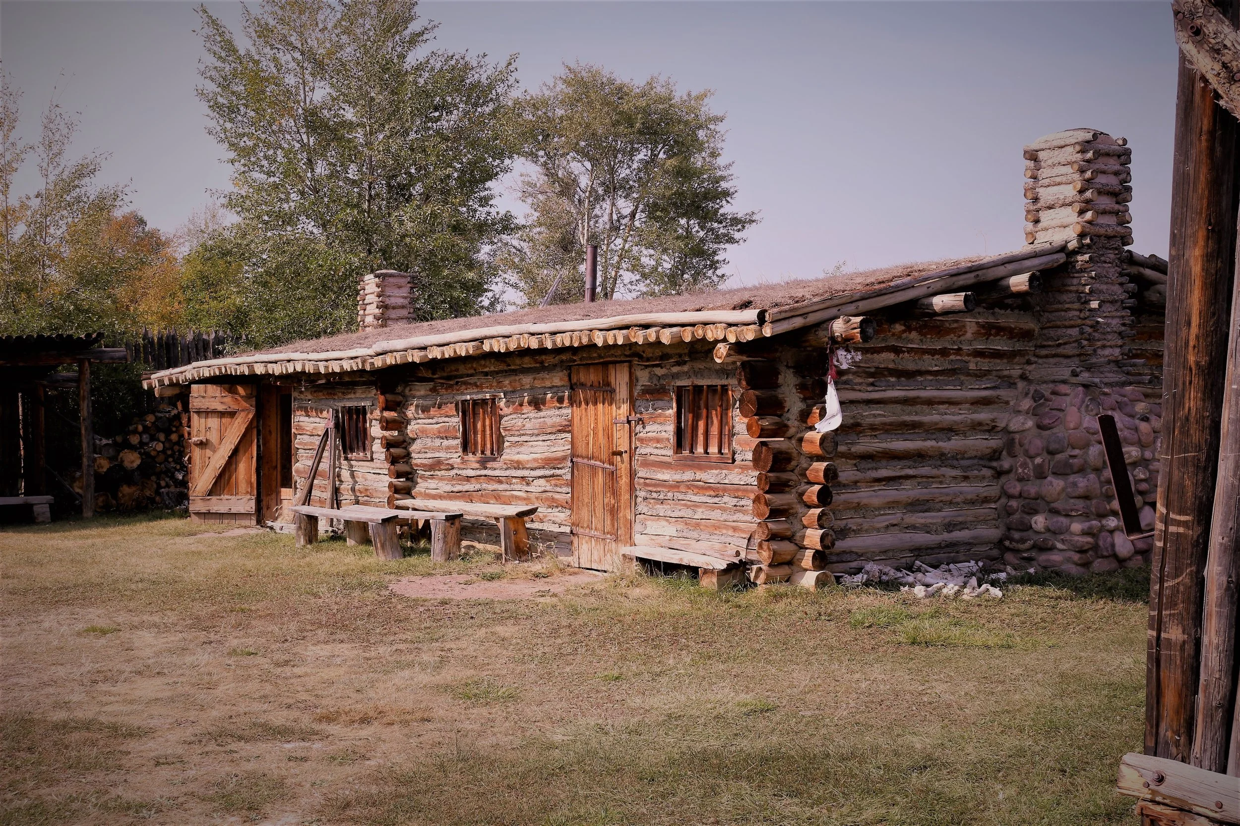
Fort Bridger to Fort Hall—215 miles (345 km)
Stop 7—Fort Hall—Idaho
The original Fort Hall stood near the town in Idaho that bears that name. The fort was established in 1843 as a fur trading outpost, but soon became an important resupply point for emigrants heading west. While the original fort is no longer in existence, a replica was built just south in Pocatello.
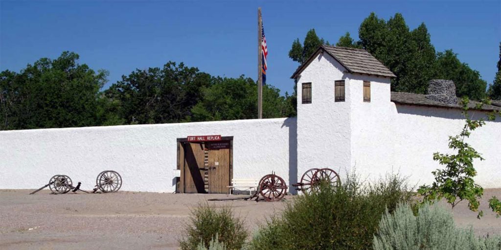
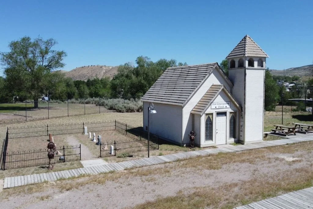
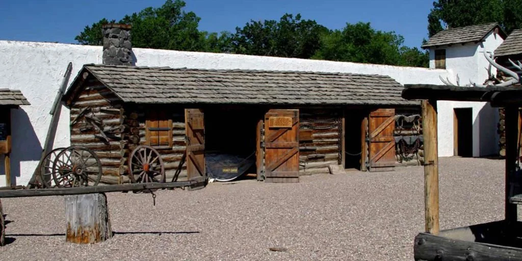
While in the area, consider checking out Craters of the Moon National Monument & Preserve. This monument preserves a vast region of lava flows and associated geological formations create an other-worldly experience.
Fort Hall to Boise—240 miles (385 km)
Stop 8—Boise—Idaho
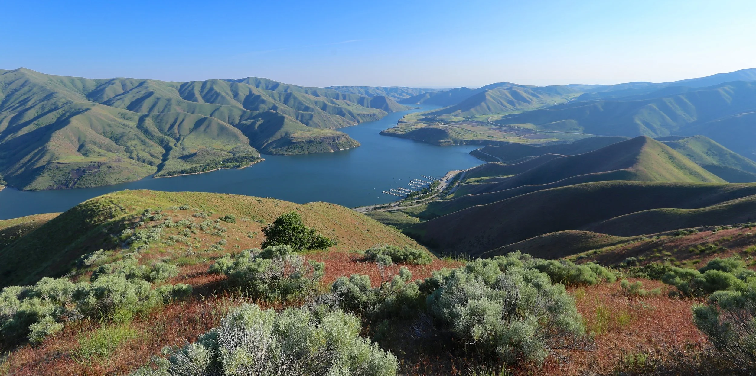
Fort Boise was located at the confluence of the Boise and Snake Rivers. Unfortunately, all traces of the old fort have vanished and its exact location remains something of a mystery. For the purposes of this itinerary, it is necessary to plan a stop and Boise is perfect place for a breather.
The Idaho capital of Boise and the surrounding area are a destination in their own right. There is a full page dedicated to this section of Western Idaho that identifies a full slate of things to see in the area.
Boise to La Grande—185 miles (300 km)
Stop 9—Grande Ronde Valley—Oregon
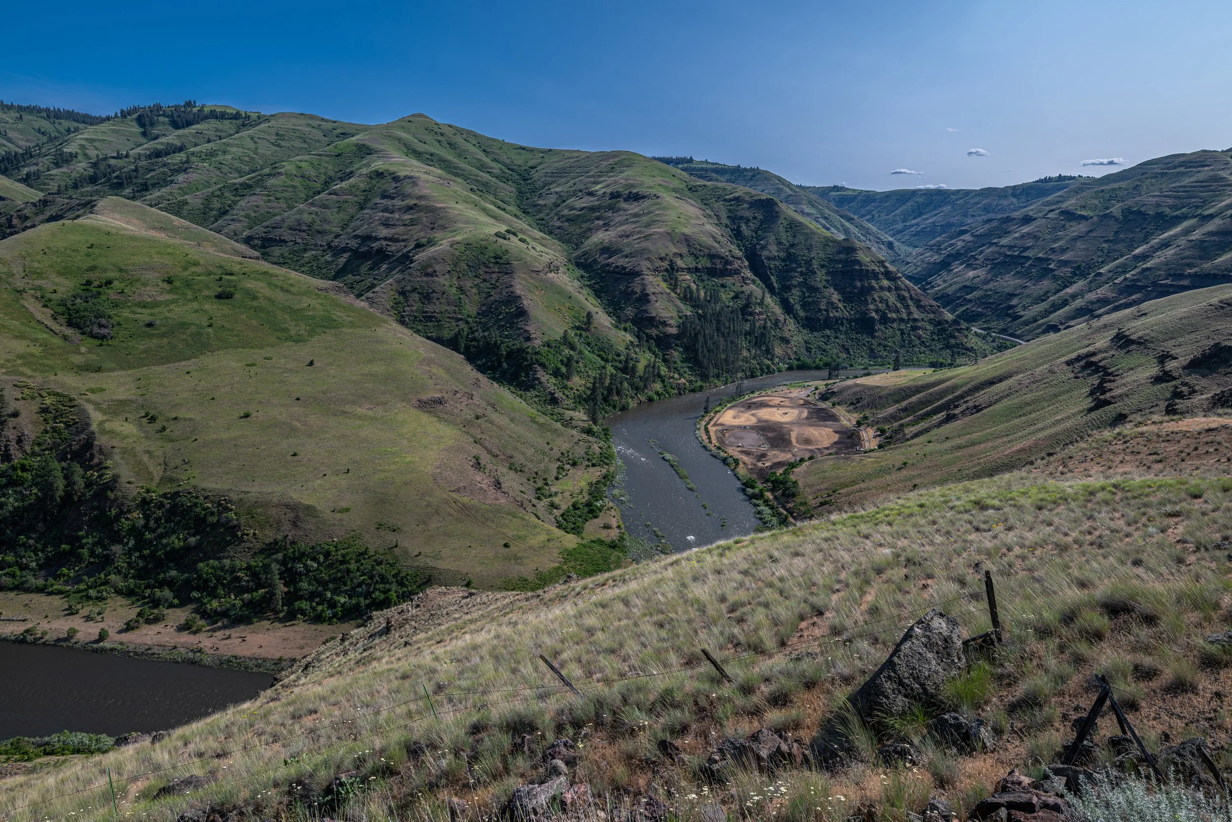
The Grande Ronde Valley, in Union County, was a waypoint for travelers on the Oregon Trail. Lying between the Blue and Wallowa Mountains, the valley left a favorable impression on all who passed through, but tensions with local Native American tribes precluded settlement.
La Grande to Whitman Mission—95 miles (155km)
Stop 10—Whitman Mission National Historic Site—Washington
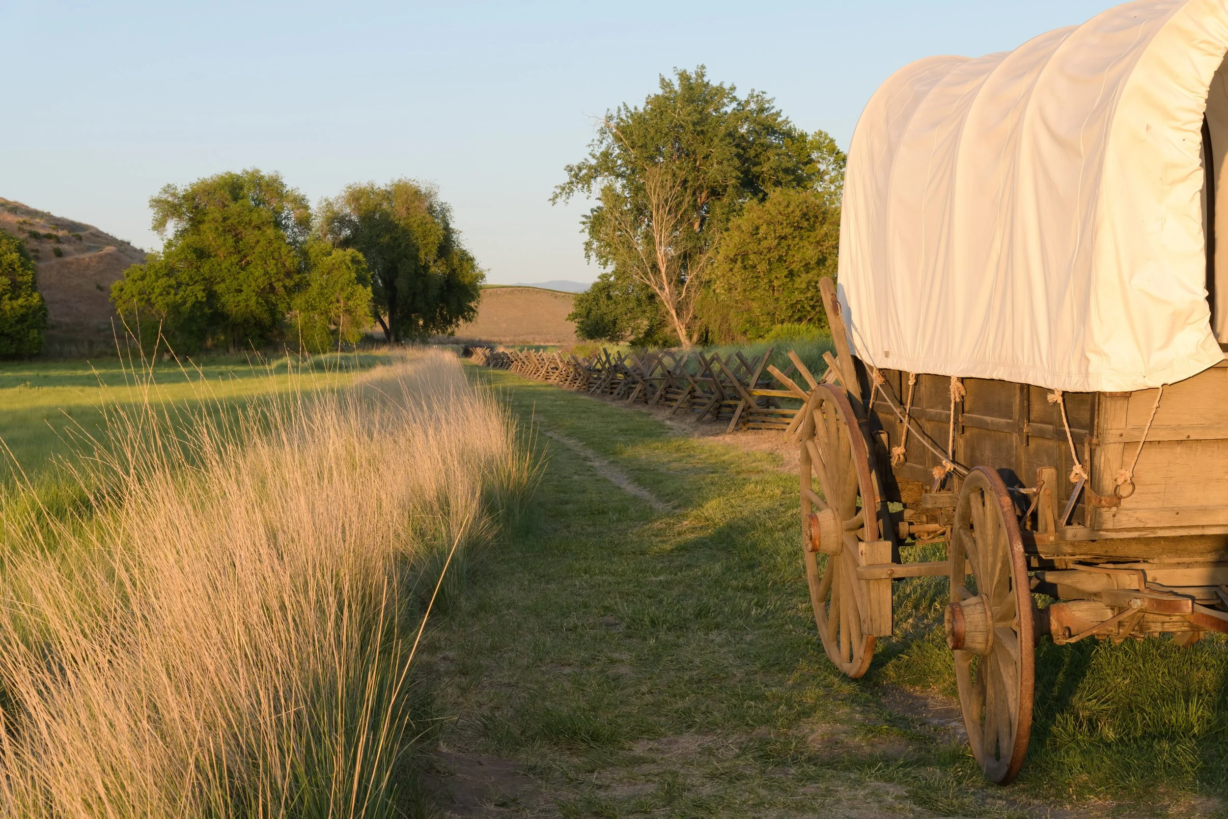
The Whitmans helped establish the Oregon Trail and maintained a mission near Walla Walla. The Whitman Mission National Historic Site commemorates, in part, the events of the historic massacre that took place at the mission. It also helps interpret the life and achievements of the Whitman family.
Whitman Mission to The Dales—155 miles (250 km)
Stop 11—The Dales—Oregon
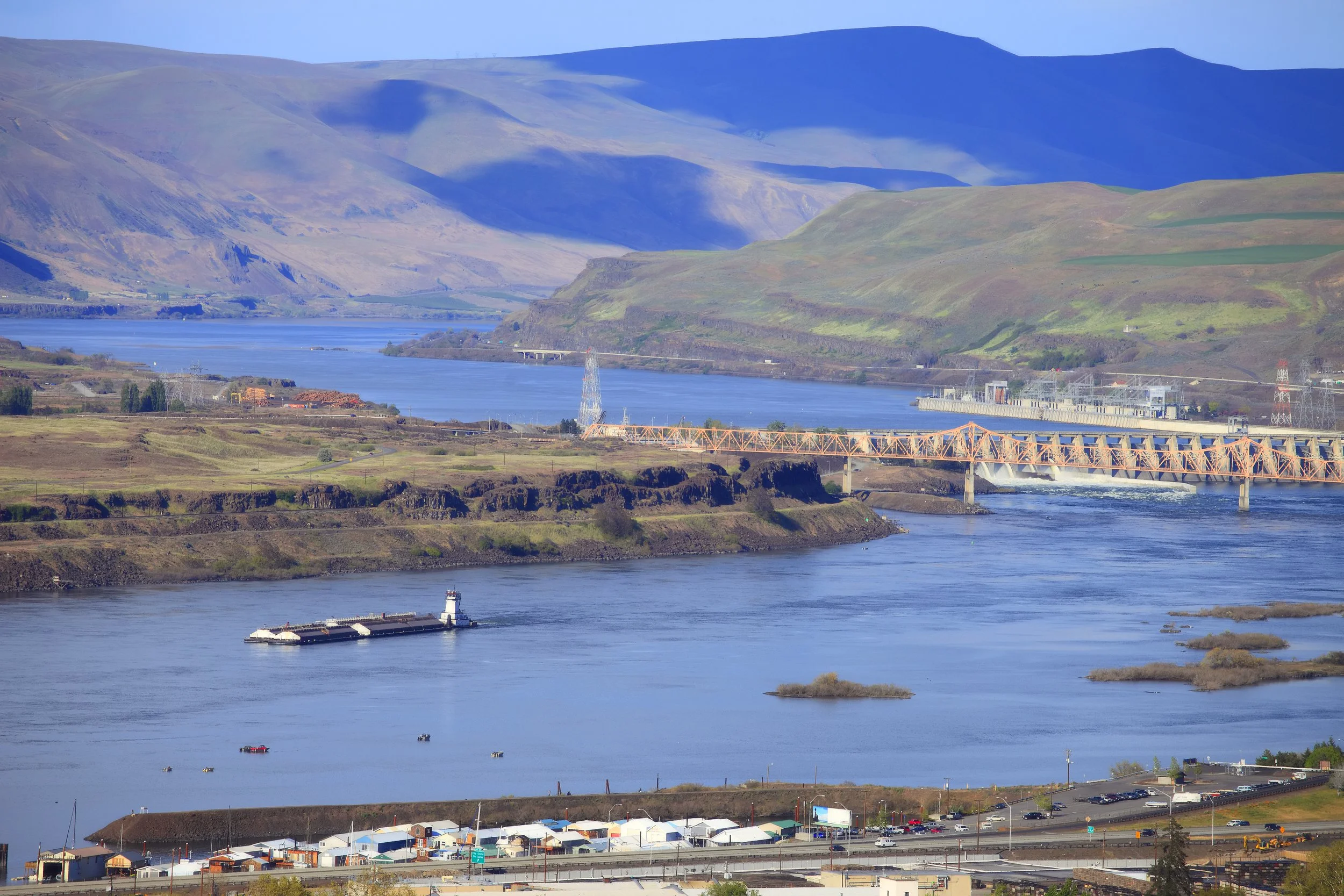
The Dales, on the Columbia River, was technically the end of the Oregon Trail. Due to the steepness of the hillsides in the Columbia Valley, it was not possible to proceed by wagon. From here, settlers pressed on to Fort Vancouver by raft. Today Interstate 80 runs through the valley, so the rest of your journey will be by road.
The Dales to Fort Vancouver—85 miles (135 km)
Stop 12—Fort Vancouver National Historic Site—Washington
Established in 1849, Fort Vancouver was constructed as a fort and fur trading post. The fort served well into the 20th century in a variety of roles. It was an Army Air Corps airfield in World War II and was later transferred to the Army Reserve before its retirement in 2012. Today it is managed by the national park service.
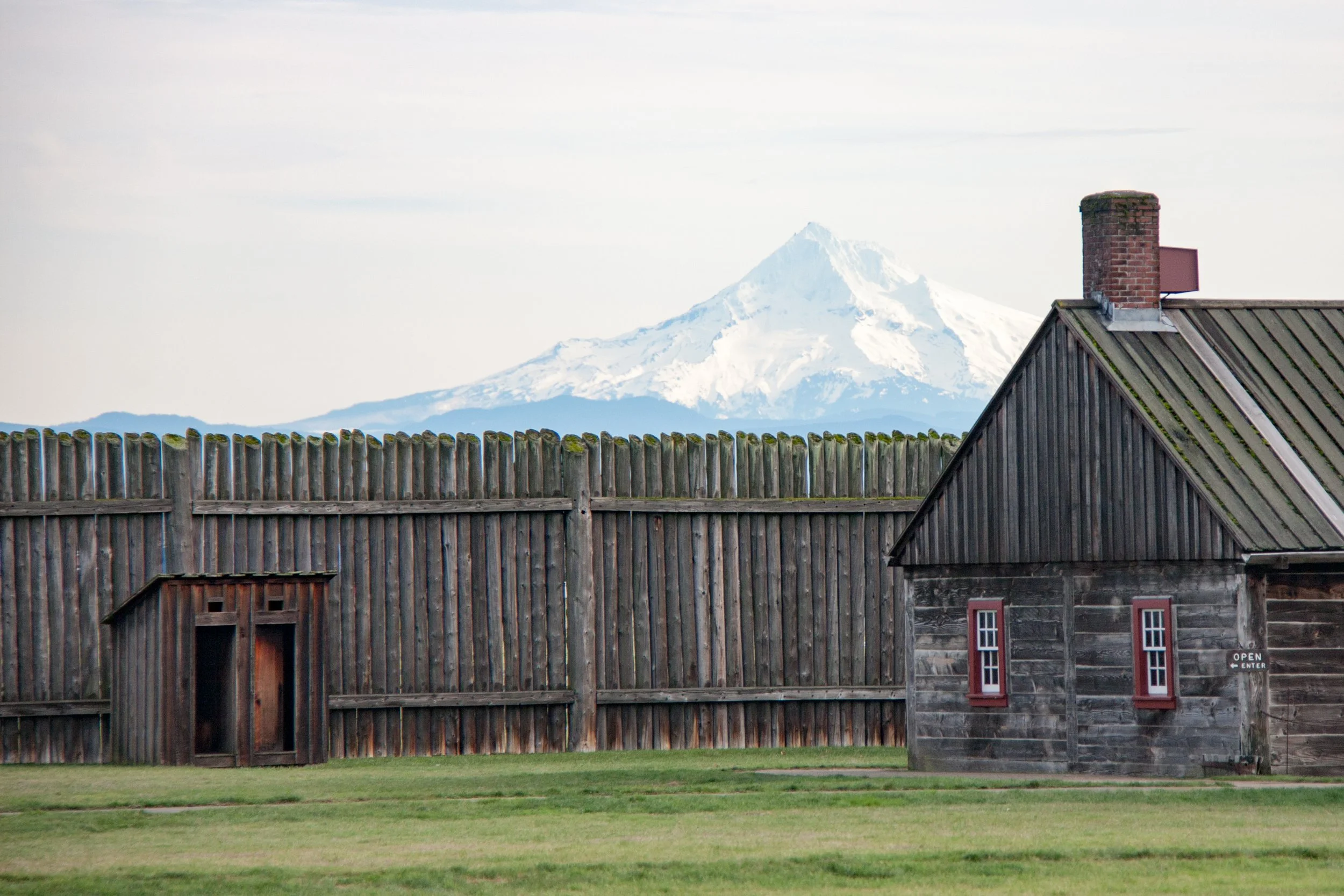
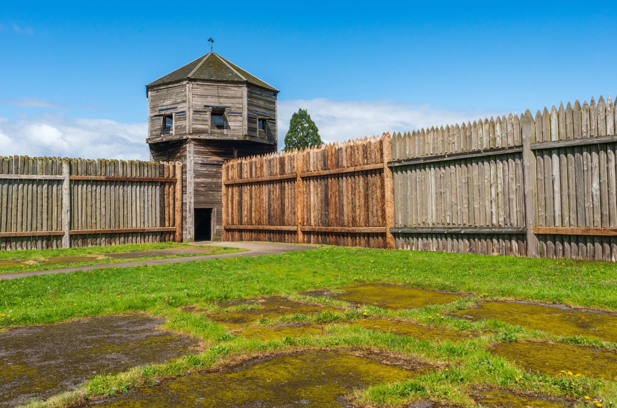
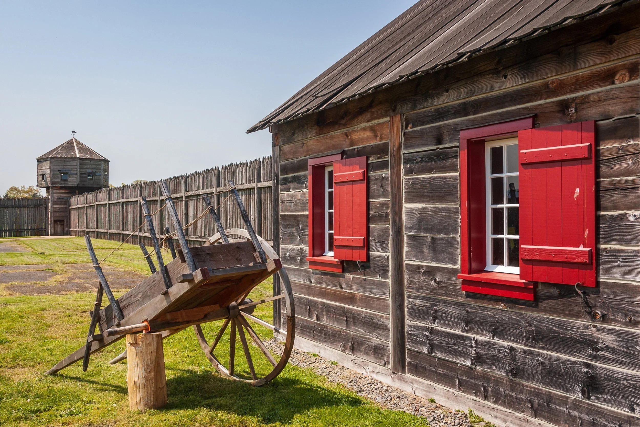
Fort Vancouver was the nominal end point for the Oregon Trail. Travelers, intent on staking land claims, moved on to other areas near the coast. Chief among these was the fertile slopes of Oregon’s Willamette Valley.