Yellowhead Highway
The Yellowhead Highway technically begins in Manitoba, but this route concentrates on the section running from Edmonton to Prince Rupert. This 1100 mile (1770 km) stretch of highway traverses the Rocky Mountains and then extends through some of the most remote sections of British Columbia. The route then terminates at Prince Rupert and the Gulf of Alaska.
Here are the recommended stops:
Stop 1—Edmonton
Edmonton is the capital city of Alberta and has most of the provincial museums as well a few national historic sites. This is a major metropolitan area with all of the shopping districts, culinary options and an arts district centered around Churchill Square.
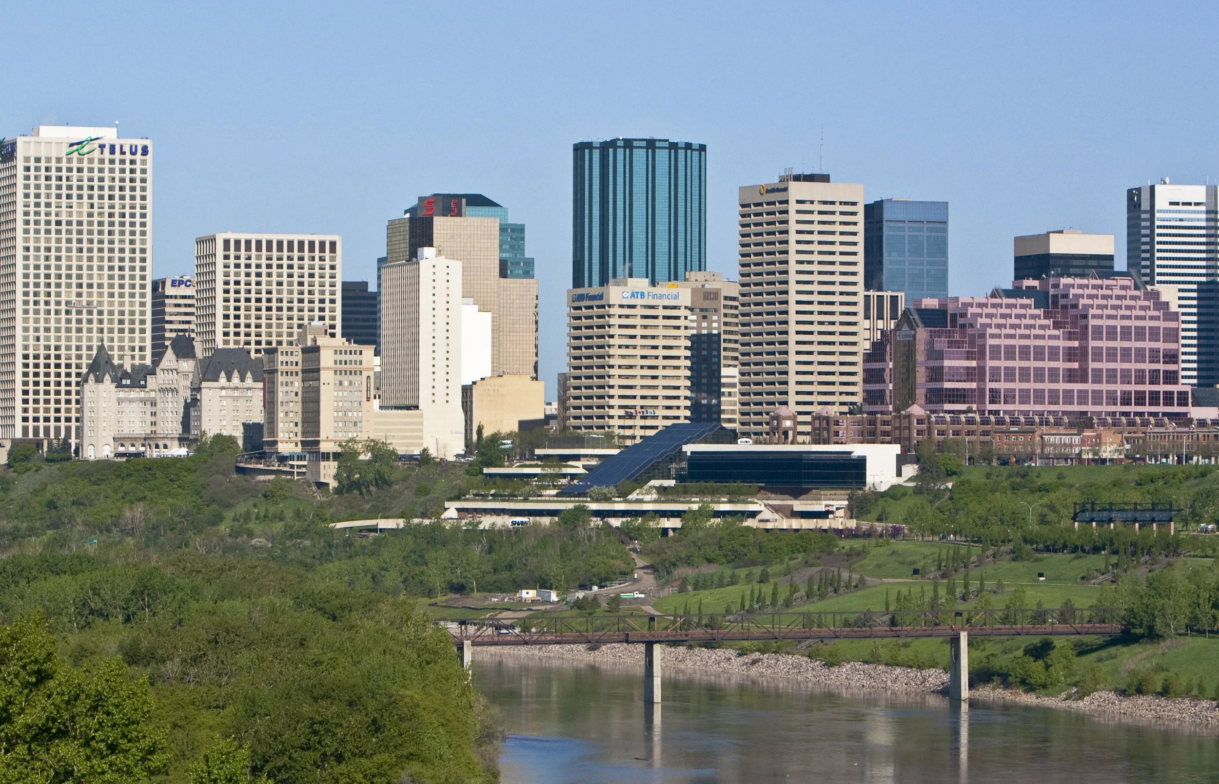
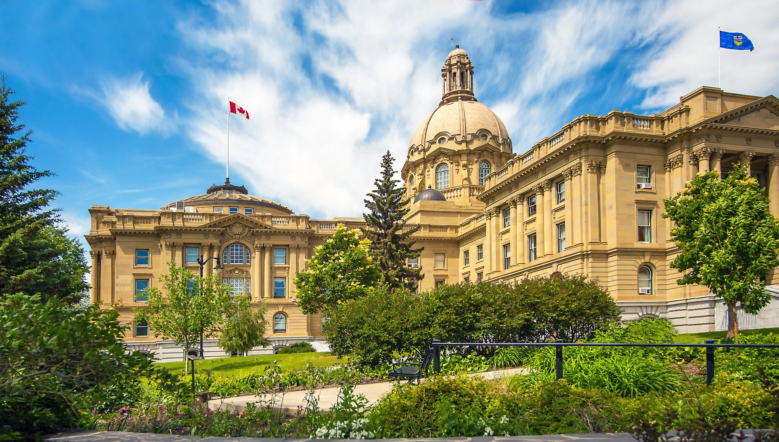
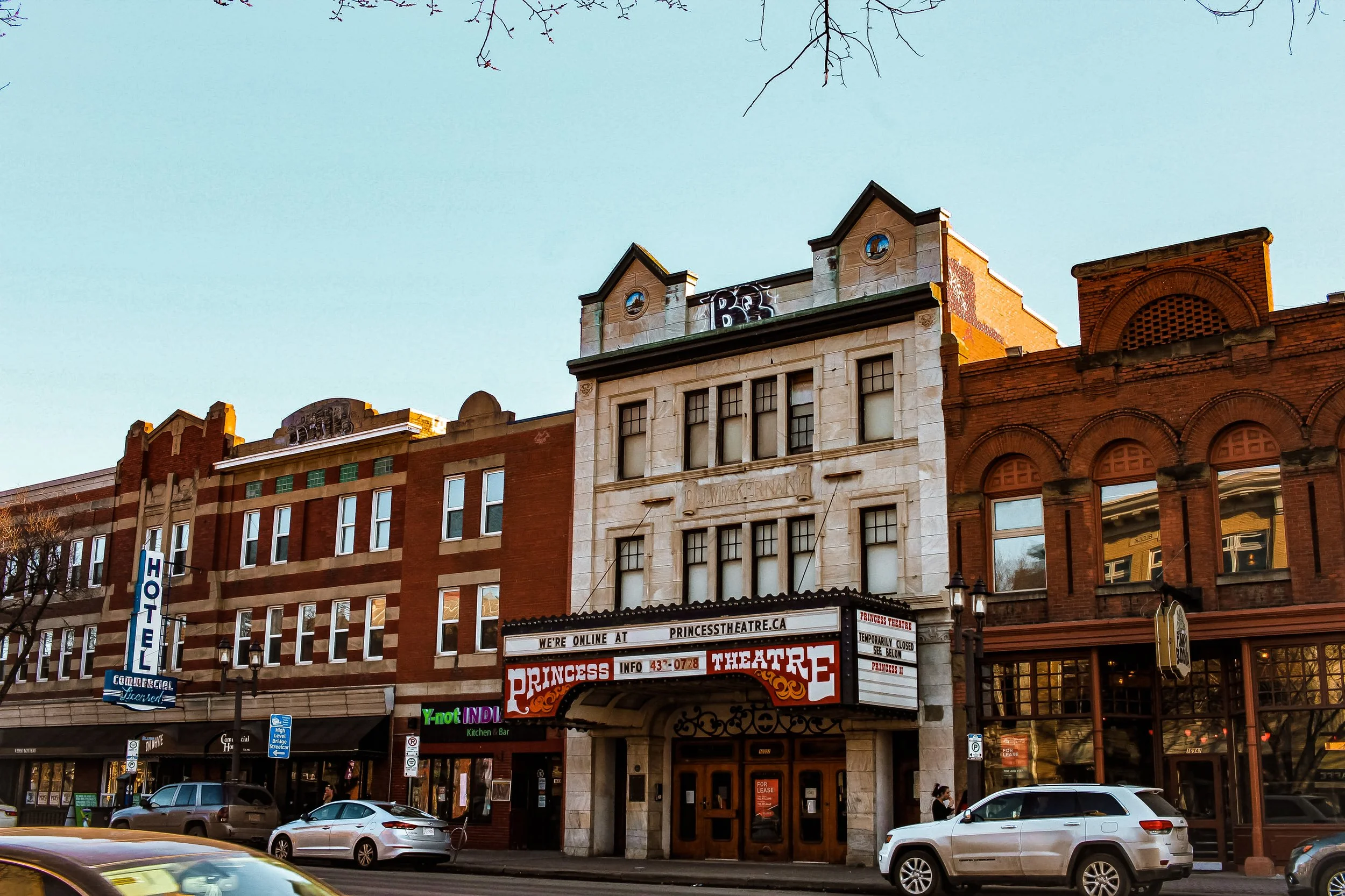
Nearby Elk Island National Park should be one stop while in the area (I recommend camping there). The park is comprised of a northern prairie ecosystem that was set aside to provide habitat for plains bison.
Edmonton to Jasper National Park—230 Miles (370 km)
Stop 2—Jasper National Park
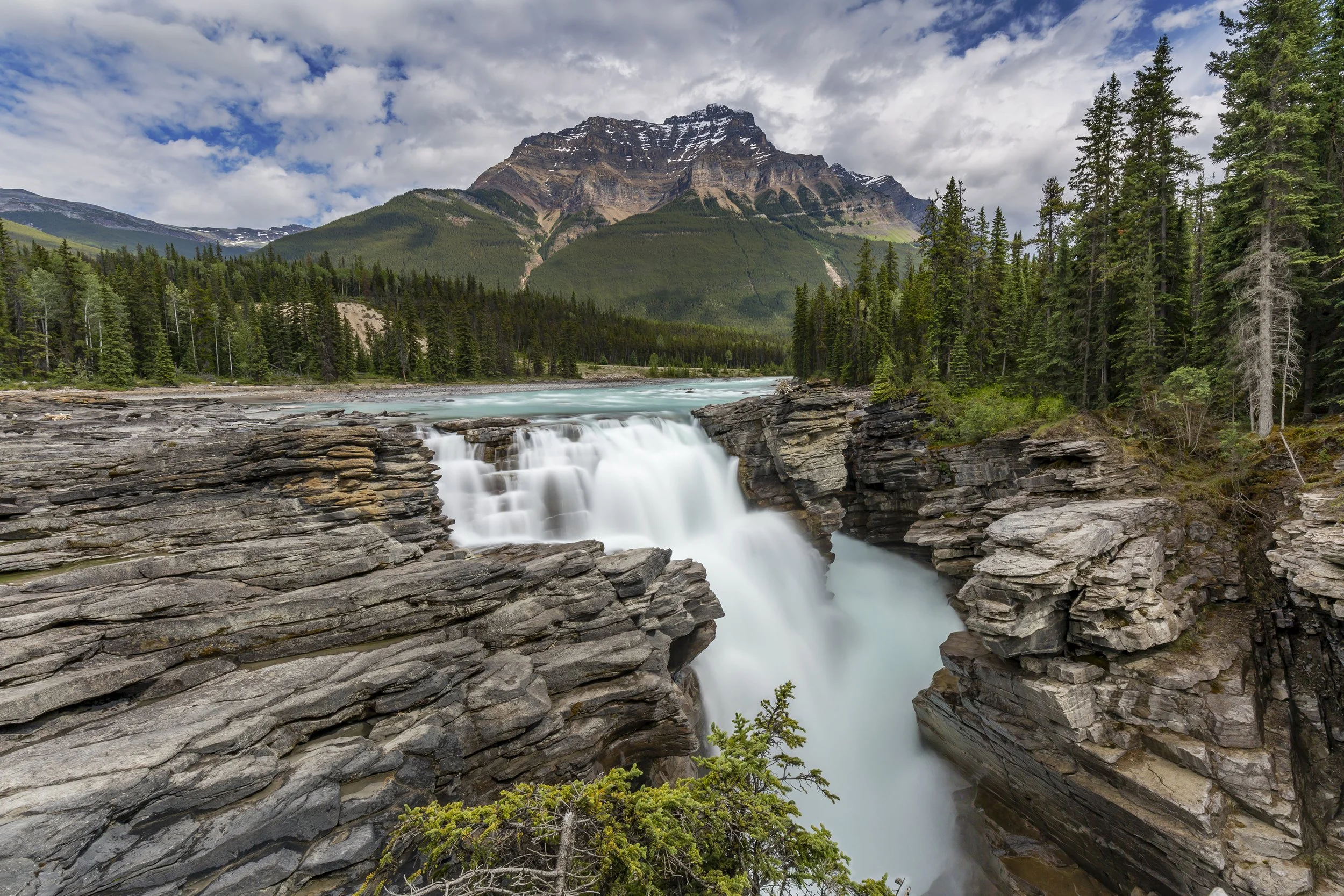
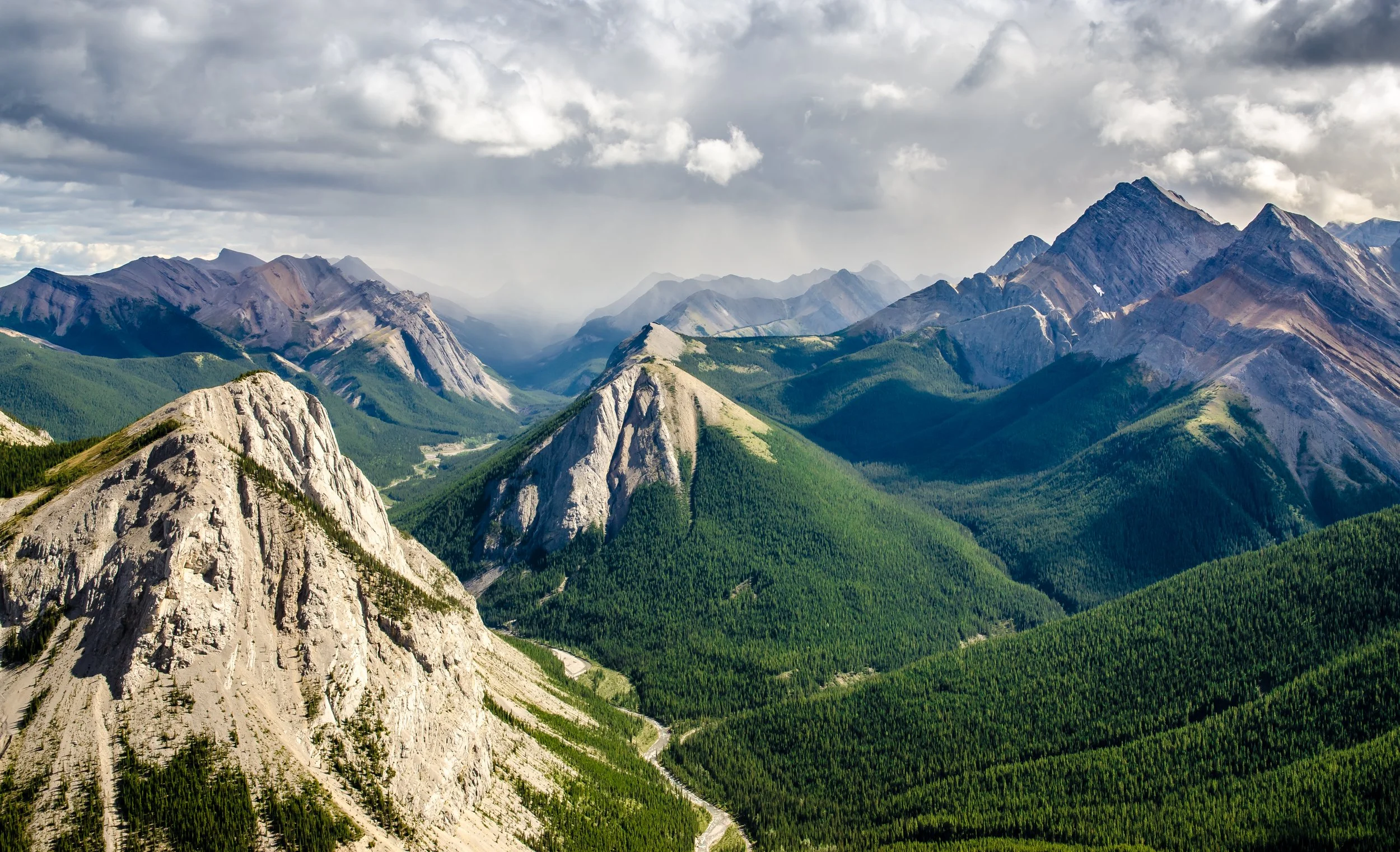
Jasper National Park lies within the Arctic basin and preserves a high-alpine ecosystem. This includes active glaciers, deep canyons and sweeping mountain vistas. Jasper is accessible by road and visitors will find a wide variety of activities, which include hiking, camping, paddling, mountain biking, snowshoeing and much more.
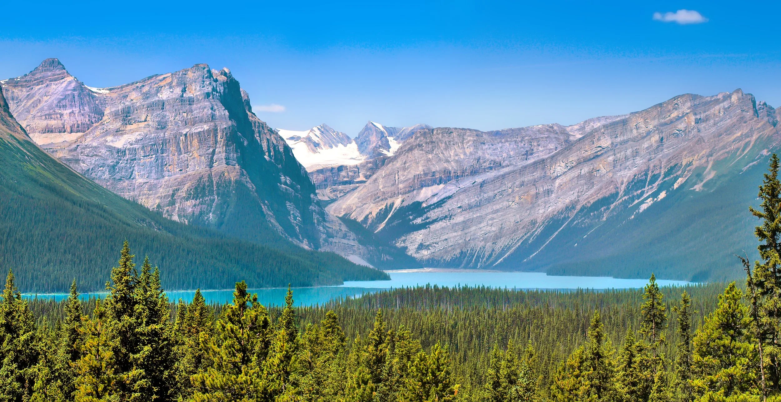
Jasper National Park to Mount Robson Provincial Park—60 Miles (100 km)—This is a short leg, but Mount Robson is worth a stop. It is entirely possible to drive through (or stop briefly) and press on to Prince George.
Stop 3—Mount Robson Provincial Park
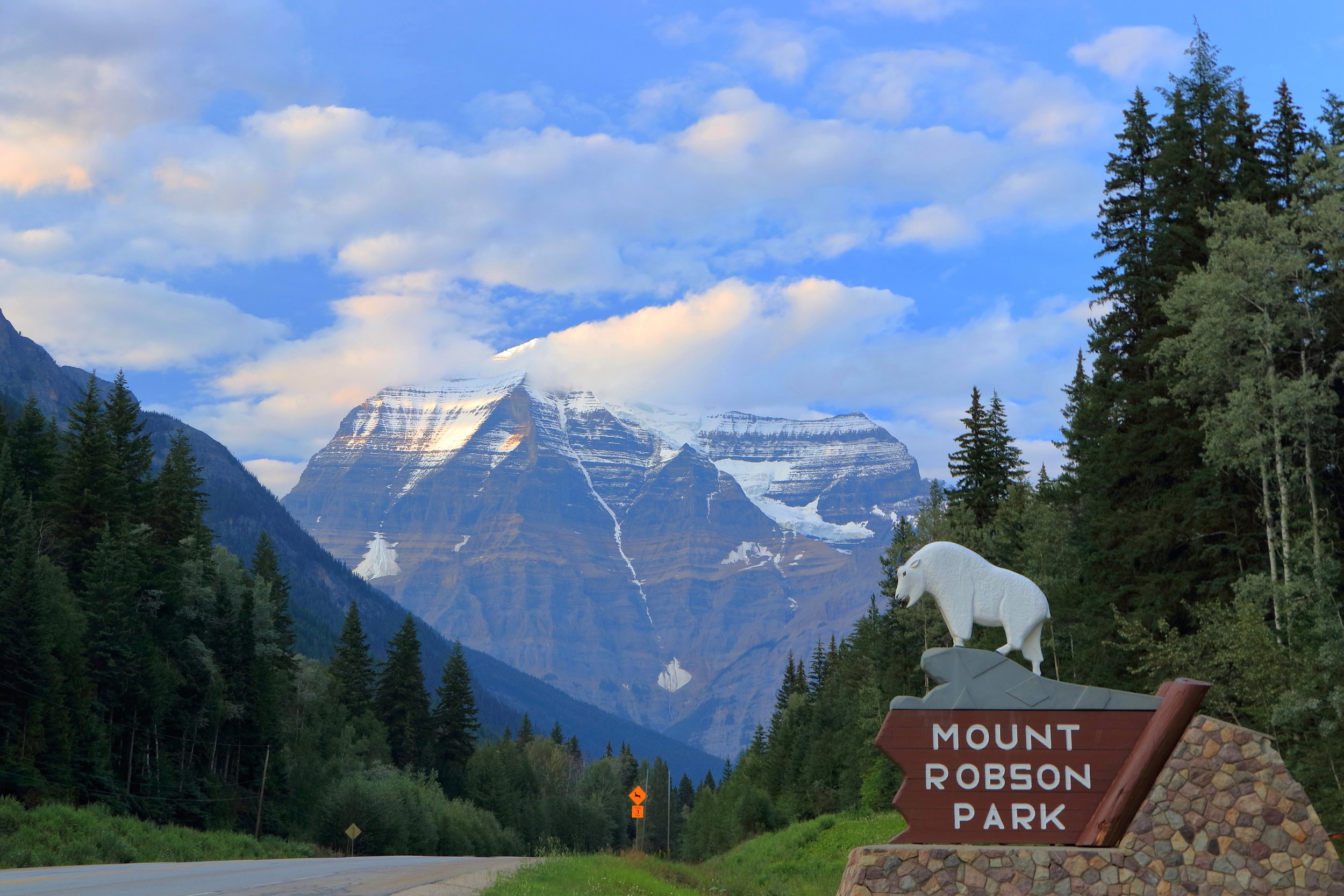
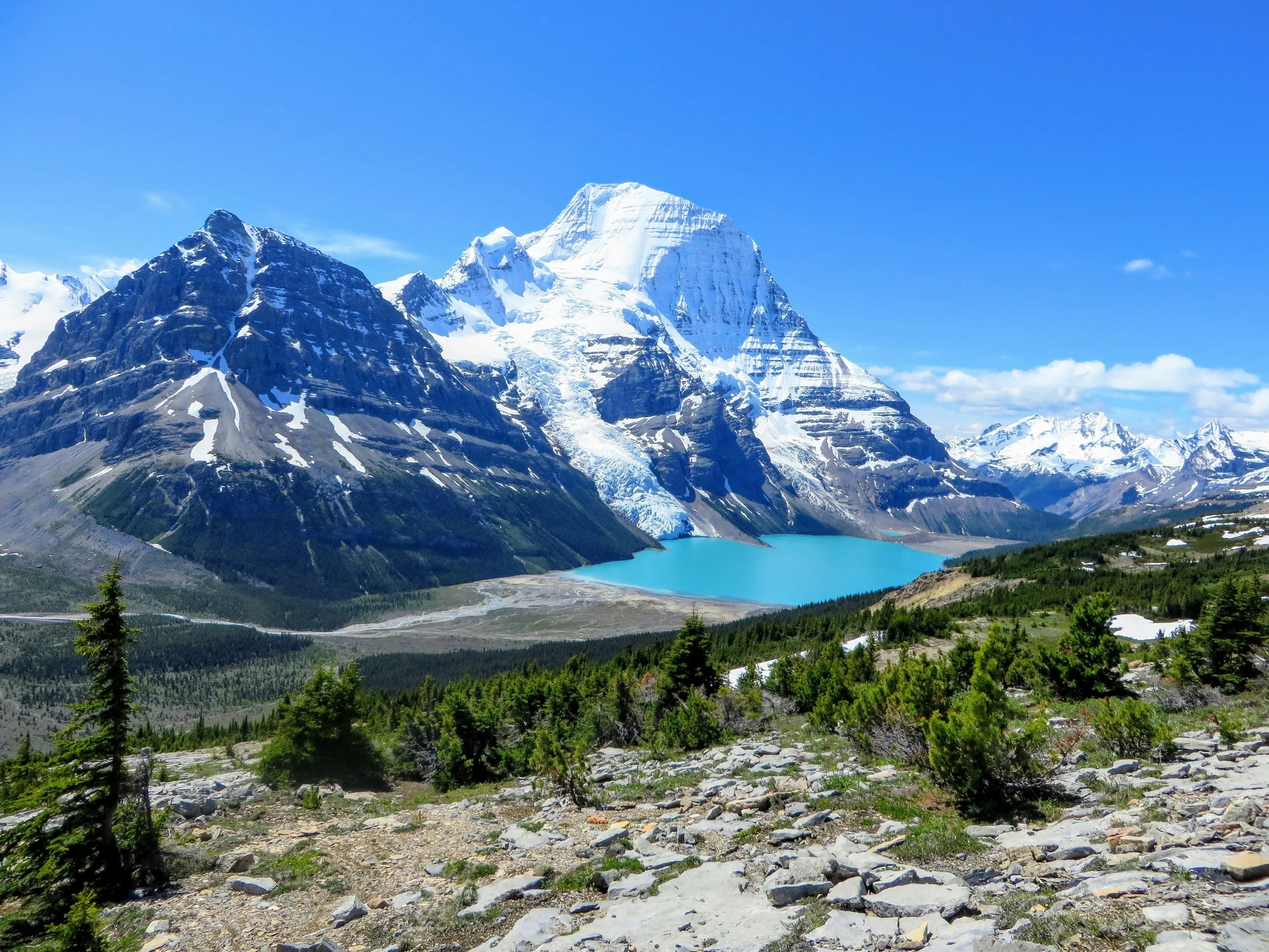
Mount Robson Provincial Park is contiguous to Jasper National Park. It is the largest and second oldest provincial park in British Columbia. Mount Robson is the largest mountain in the Canadian Rockies and is an iconic geographic feature. The park also contains the source of the Fraser River, which is both a national heritage river and the longest river in British Columbia.
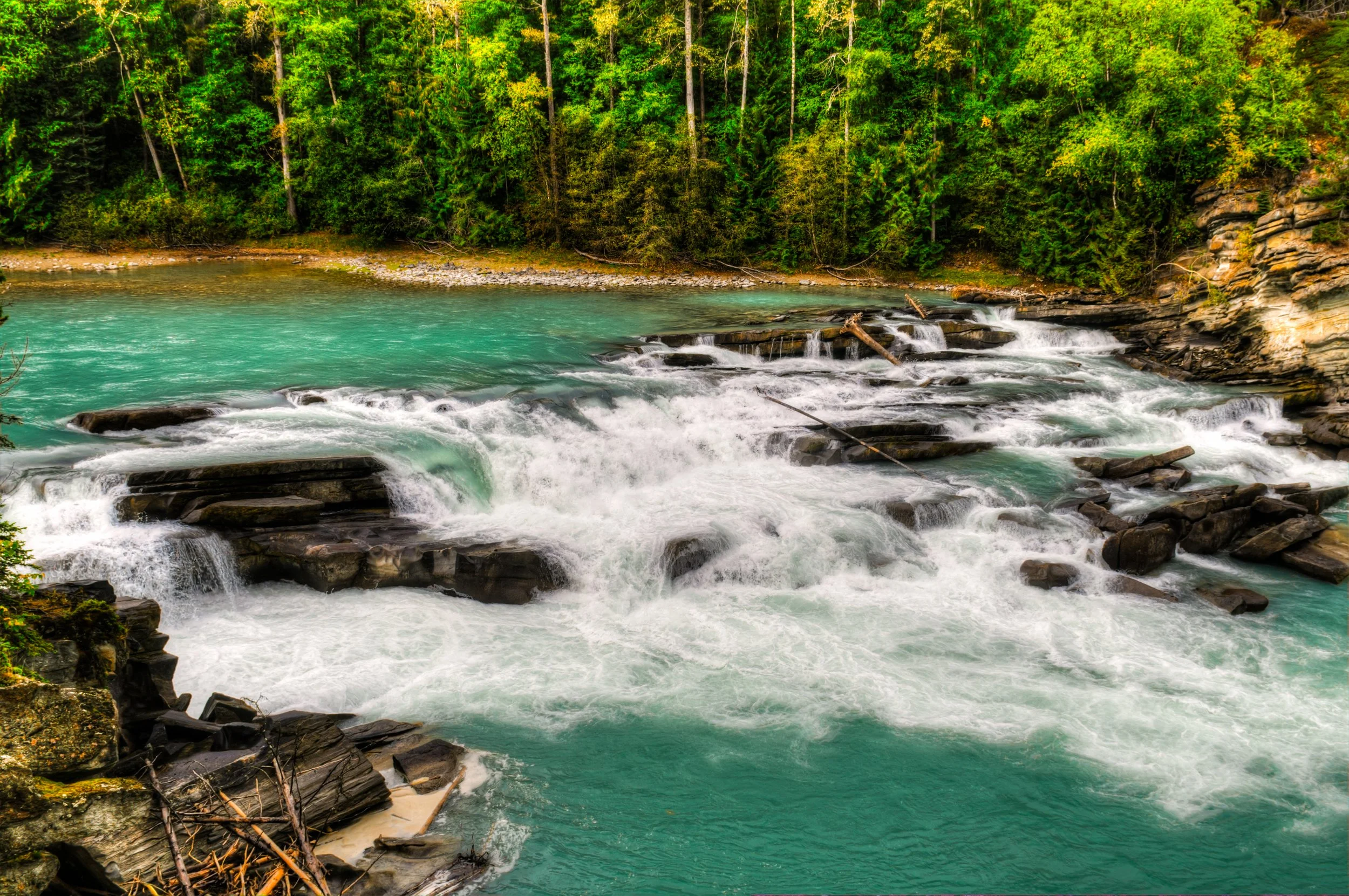
Mount Robson Provincial Park to Prince George—180 Miles (290 km)
Stop 4—Prince George
Established at the confluence of the Fraser and Nechako rivers, Prince George is considered a regional capital and, while a small city, it has an arts and entertainment scene as well as shopping and dining opportunities. This will be the last substantial metropolitan area until you get closer to Prince Rupert.
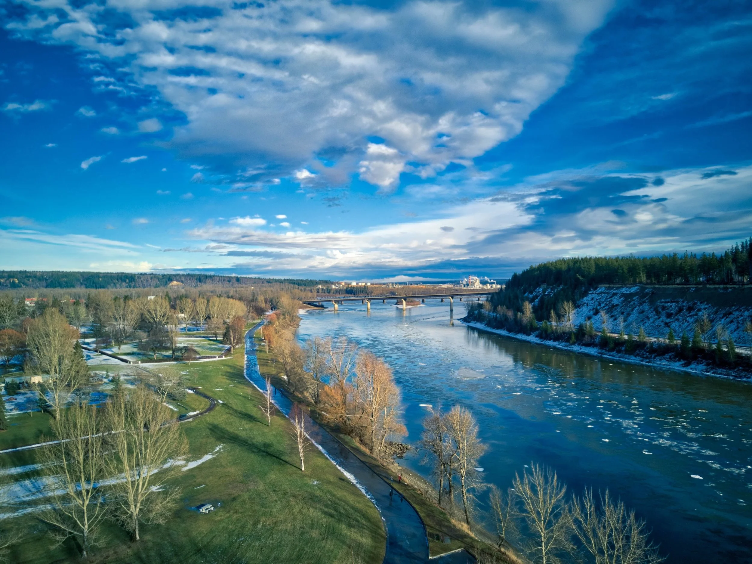
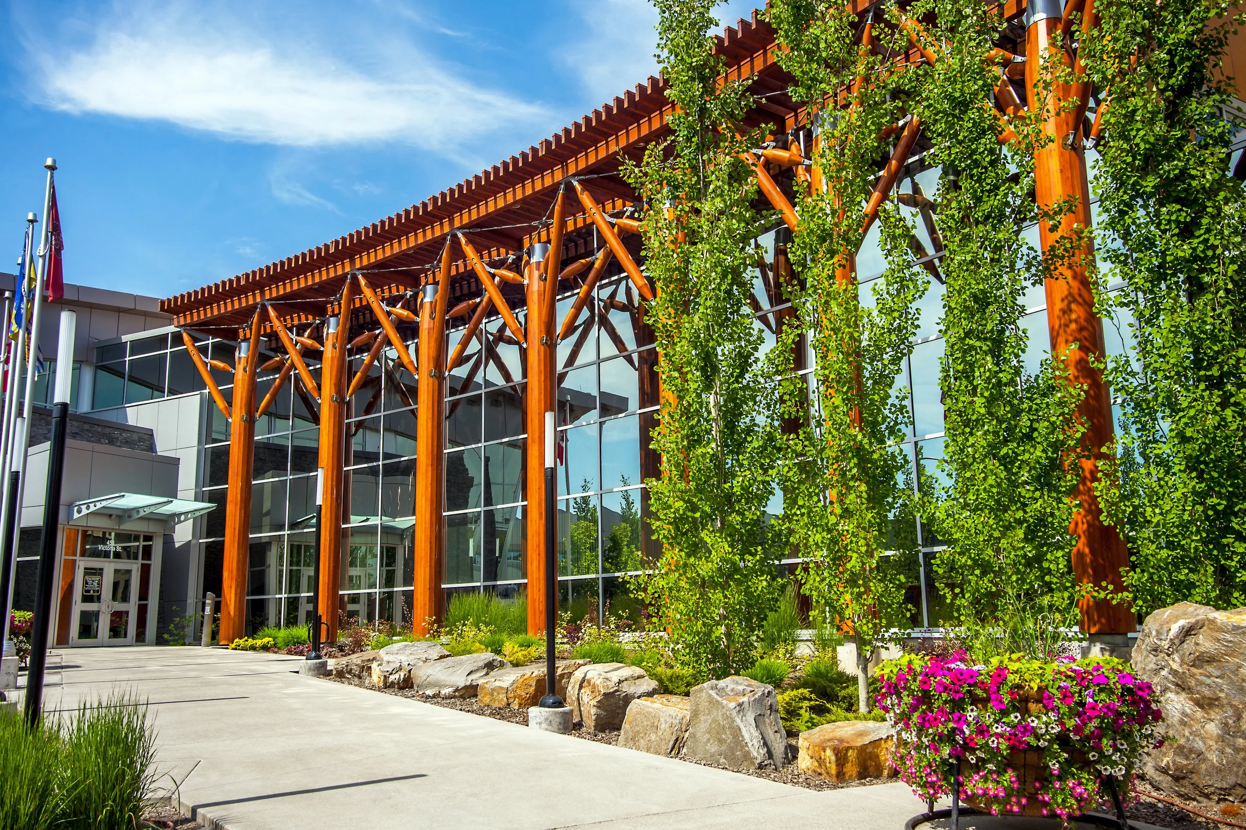
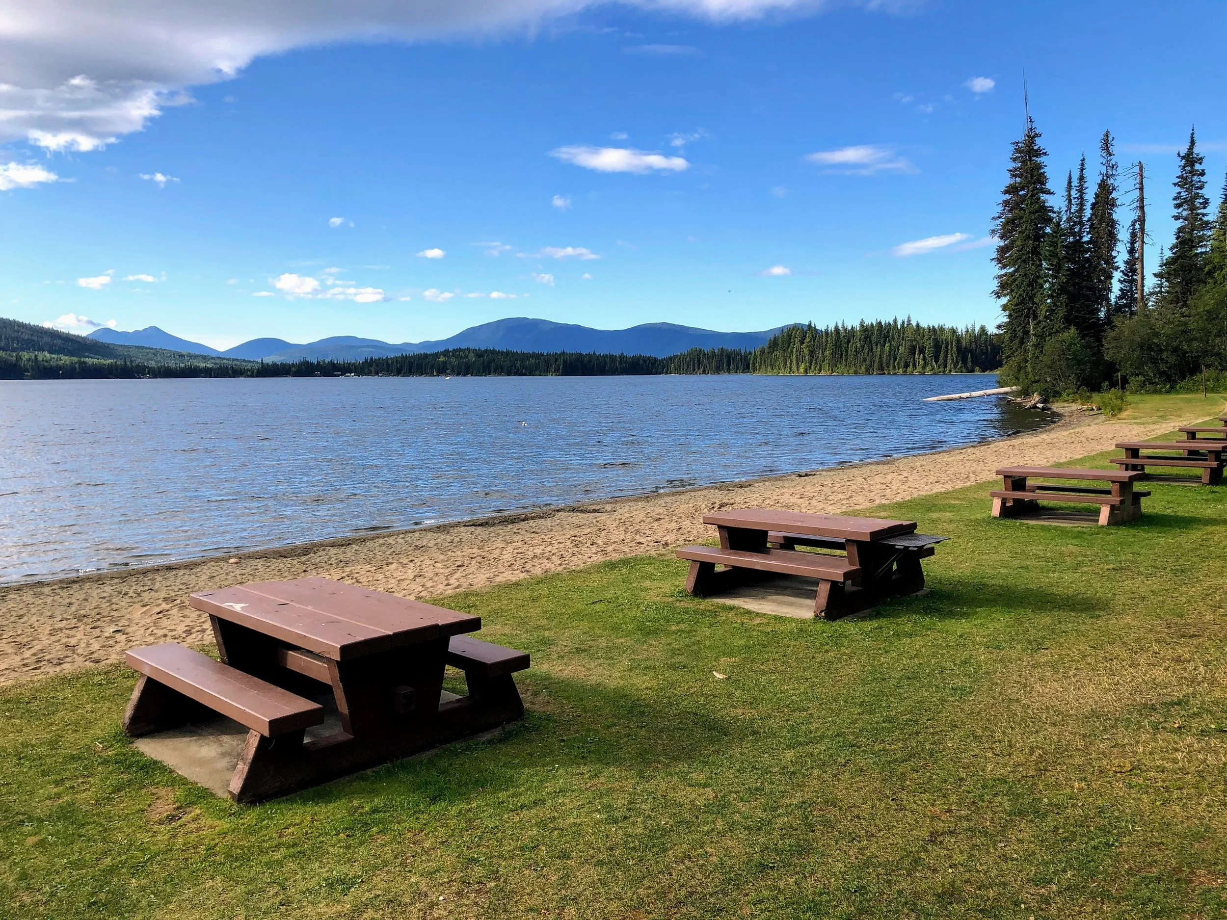
Prince George to Burns Lake—145 Miles (235 km)—This route passes through the town of Frasier Lake, which can serve as an additional stop or just a place to take a break and explore before pressing on.
Stop 5—Burns Lake
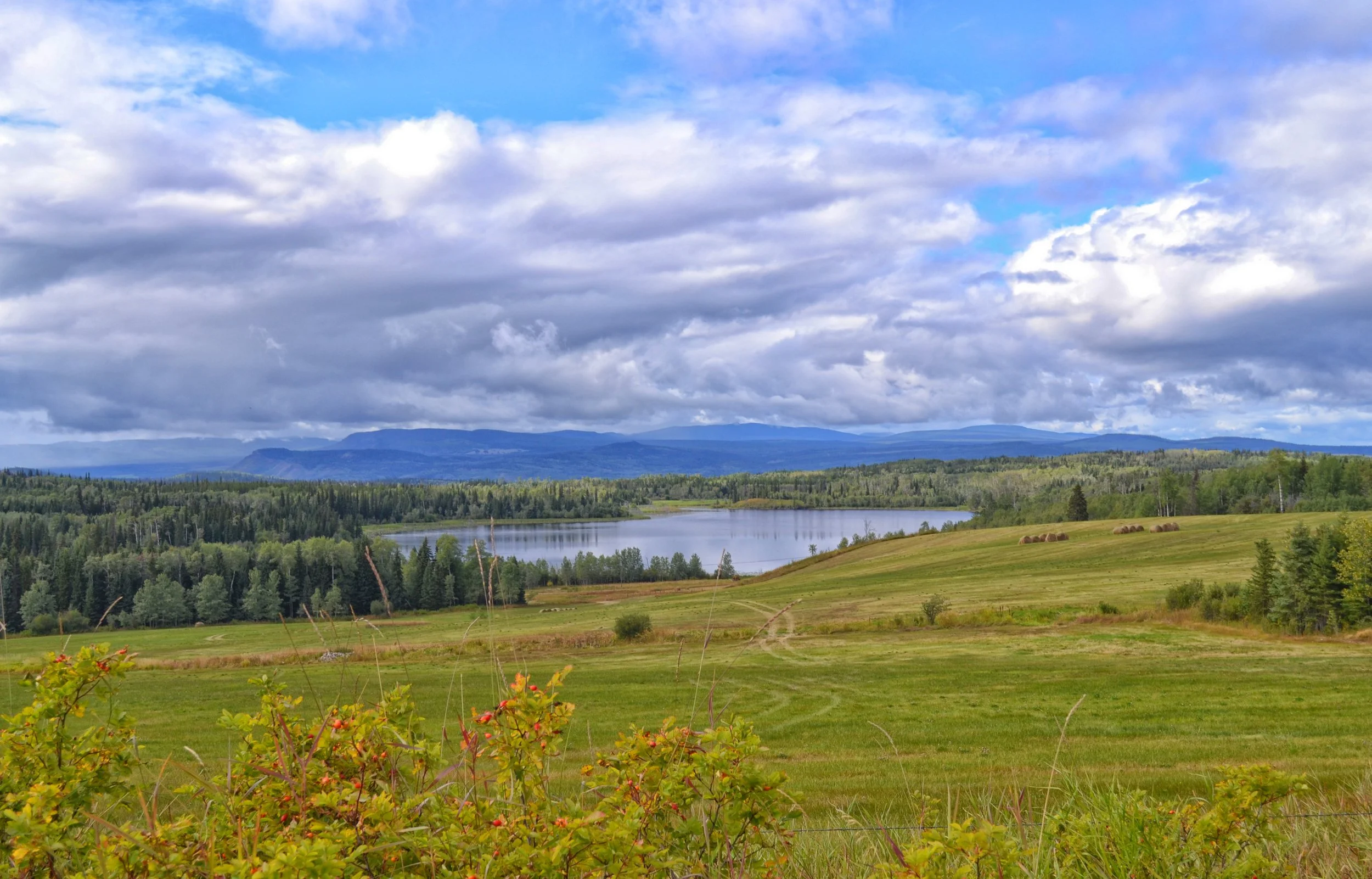
The village of Burns Lake is known internationally as a center for mountain biking. With the influx of mountain bikers it has developed an reasonable infrastructure of dining, arts and entertainment options. In addition, the village is at the center of 6 different First Nations. These cultures have contributed significantly to the area and offer another avenue for exploration.
Burns Lake to Kitwanga—160 Miles (260 km)—This is one of the longer legs of the trip. It passes through numerous villages. Smithers is the most substantial and is at about the halfway point, if you are looking for a place to take a break.
Stop 6—Kitwanga
The village of Kitwanga sits intersection of the Yellowhead and Stewart-Cassiar Highways as well as the confluence of the Kitwanga and Skeena Rivers. This makes the village a major crossroad. Turning north toward Stewart will connect travelers with the Alaska Highway.
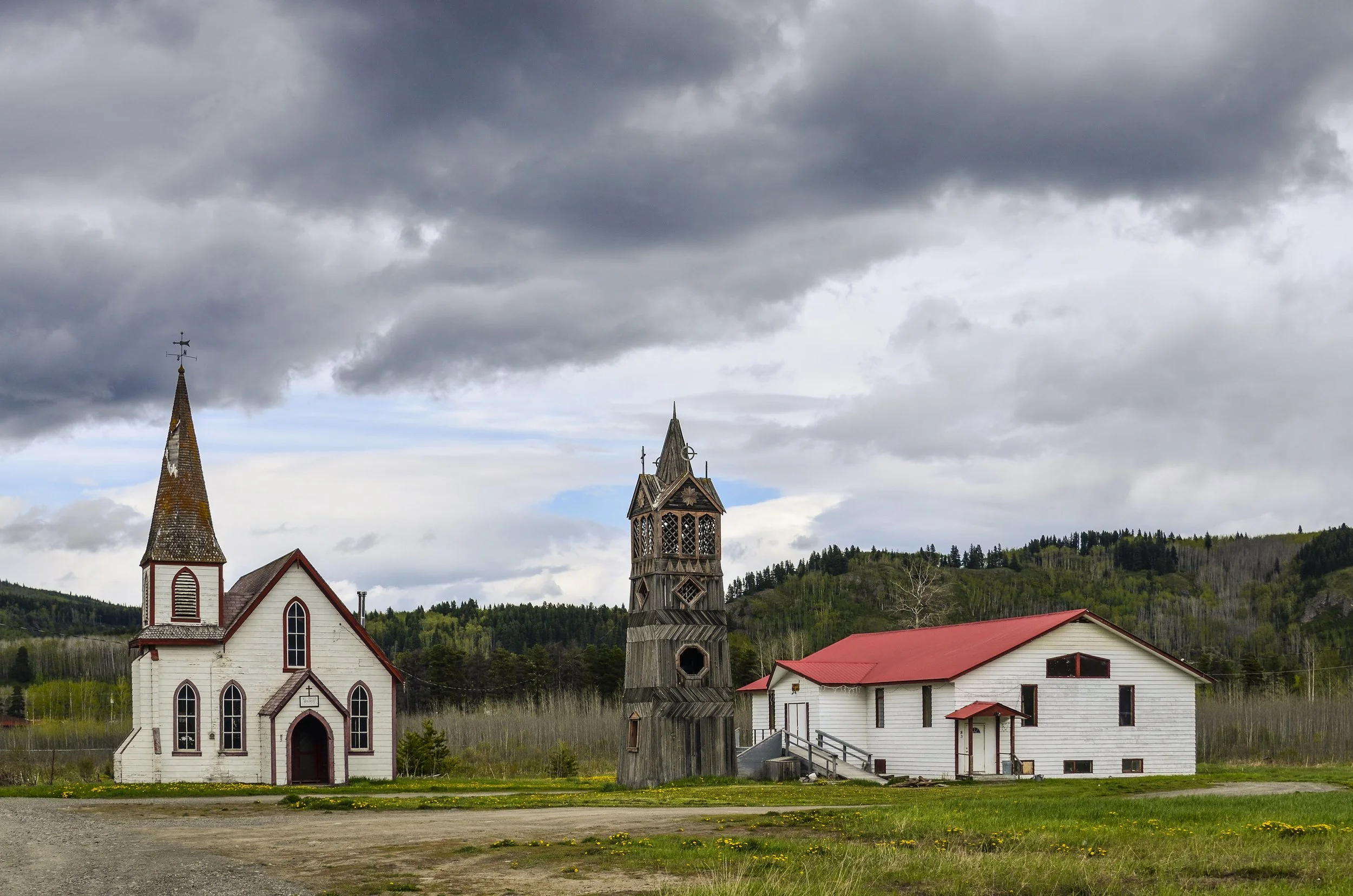
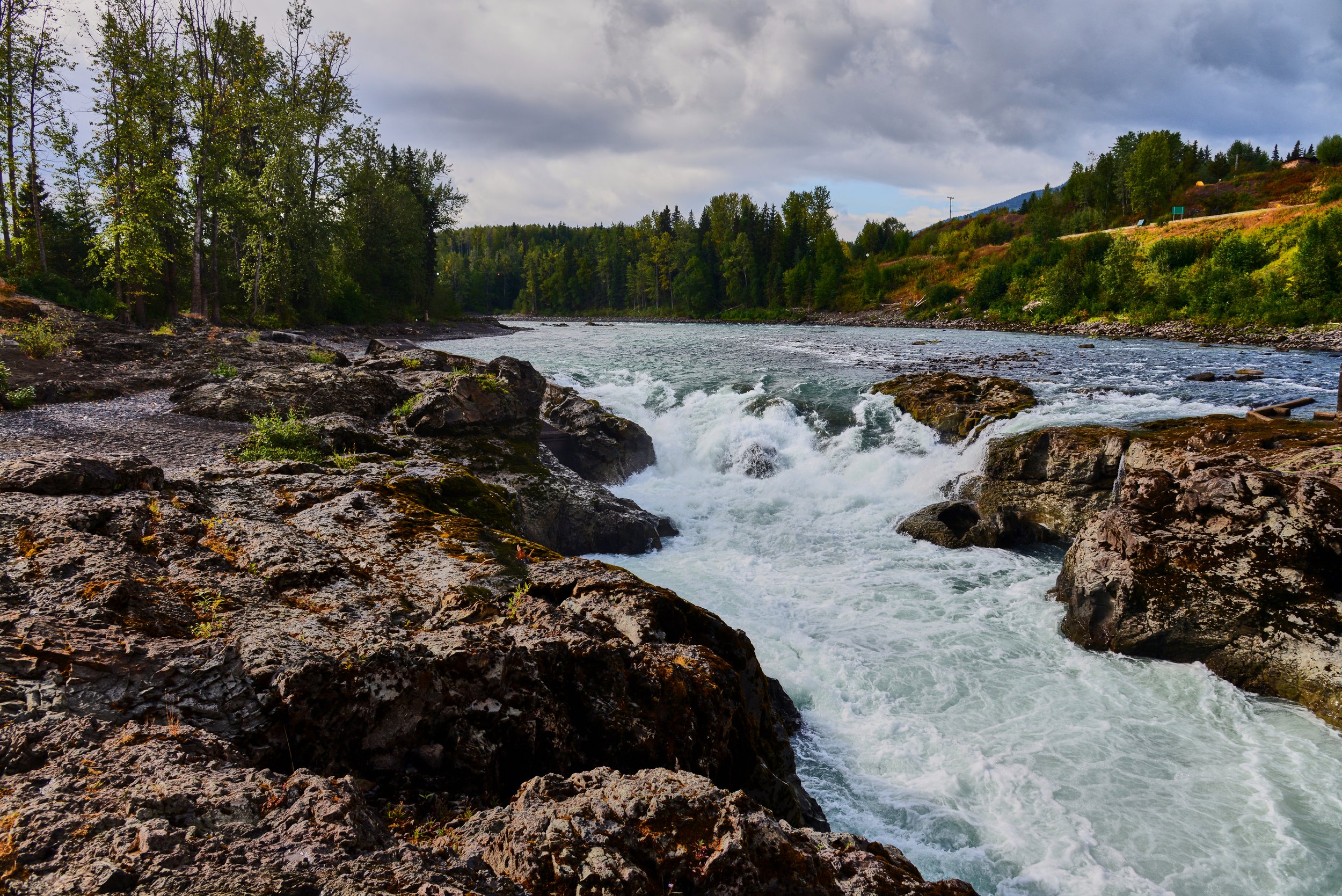
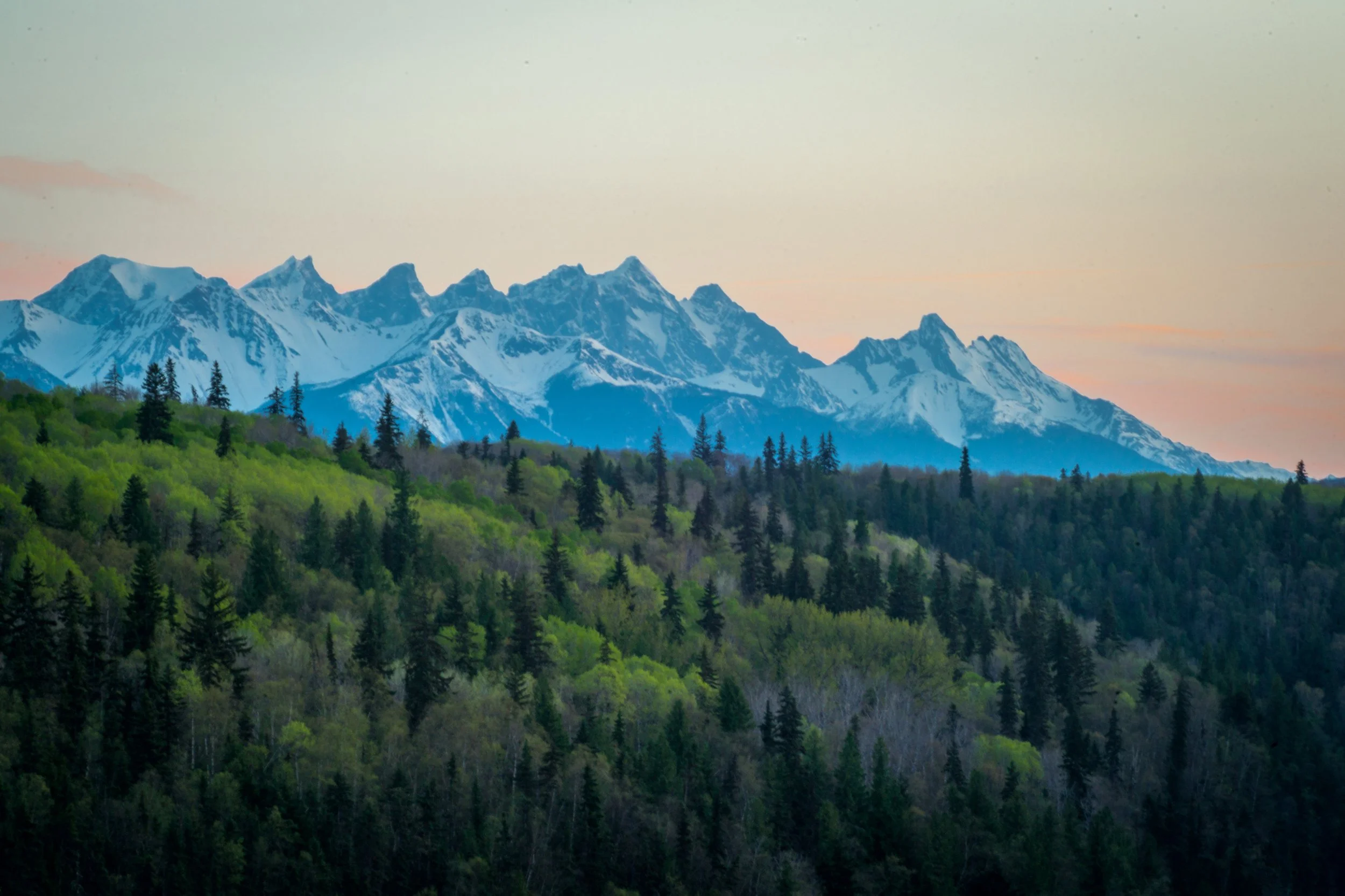
The village is rich in First Nation culture. Be sure to explore the Gitwangak Totem Poles and Gitwangak Battle Hill National Historic Site.
Kitwanga to Prince Rupert—150 Miles (245 km)—This leg passes through the small city of Terrace, which can be an additional stop, if you have time.
Stop 7—Prince Rupert
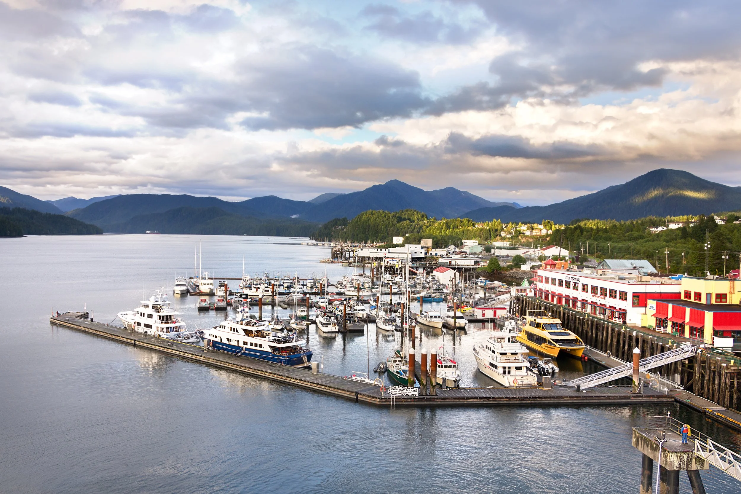
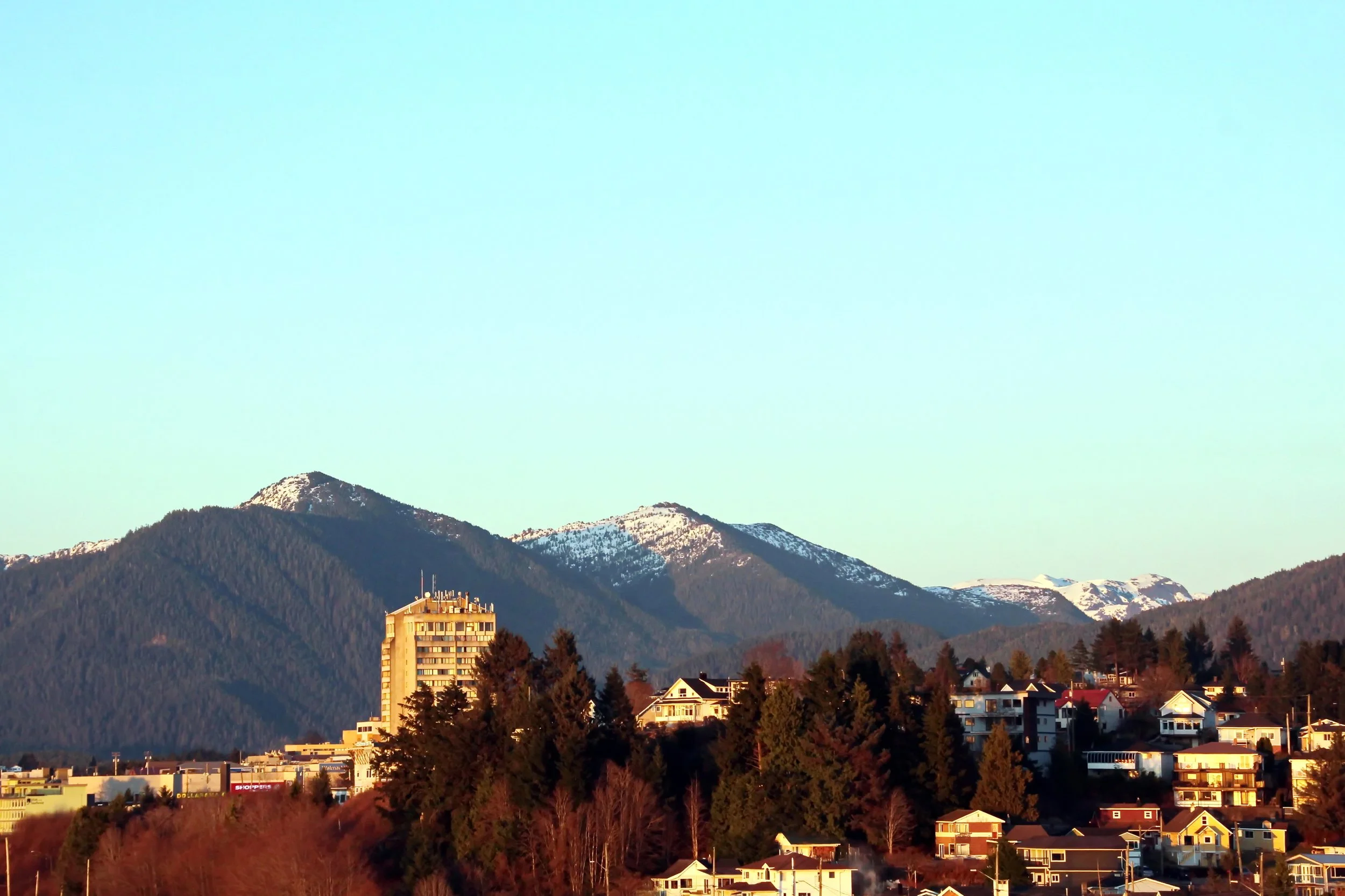
The city of Prince Rupert is located on the west coast, just south of the Alaska panhandle. It is a major land, air and water transportation hub. Travelers can connect with with ferries north to Alaska or South to Vancouver Island.
Prince Rupert is known as a jumping off point for guided wildlife viewing excursions. Trips to Gwaii Haanas National Park Reserve, on the other side of the Hecate Strait, can also be organized.
While the trip to Prince Rupert may be a once in a lifetime excursion, you should have a firm plan on how to proceed after arriving. If you arrive in a rental car, a flight home will be simple enough. If you are traveling with an RV, like I do, you have three options:
Drive back the way you came.
Drive back to Kitwanga and drive north to the Alaska Highway.
Take a ferry to Alaska or Vancouver Island. Both are less than 24 hours of travel through sheltered waters, but can be expensive. See the BC Ferry site for more information.