Pacific Coast Highway
There are many definitions of this route. Some stay strictly in California, some run up the entire coast and the routes all vary slightly. I prefer to include the entire Pacific coast and I have identified eight stops.
Each stop on this route can be a destination on its own. They represent great bases of operation and points of interest are identified on the map.
The entire drive needs weeks or even months to see everything. Here are my recommended stops:
Stop 1—San Diego
San Diego was the first European settlement in what is now California, which makes it a great starting point for the journey north. The area was claimed by Spain in 1542 and later became part of Mexico before it was transferred to the United States. The Spanish and Mexican influence are still evident.
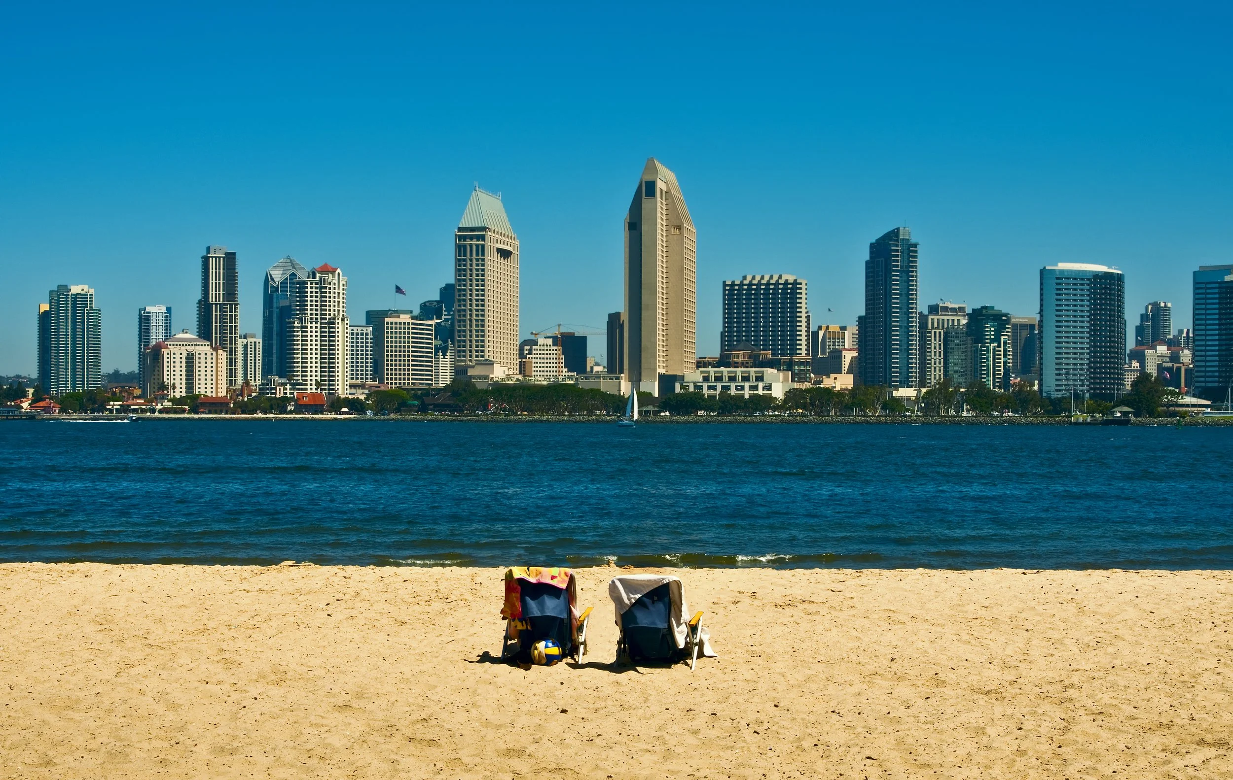
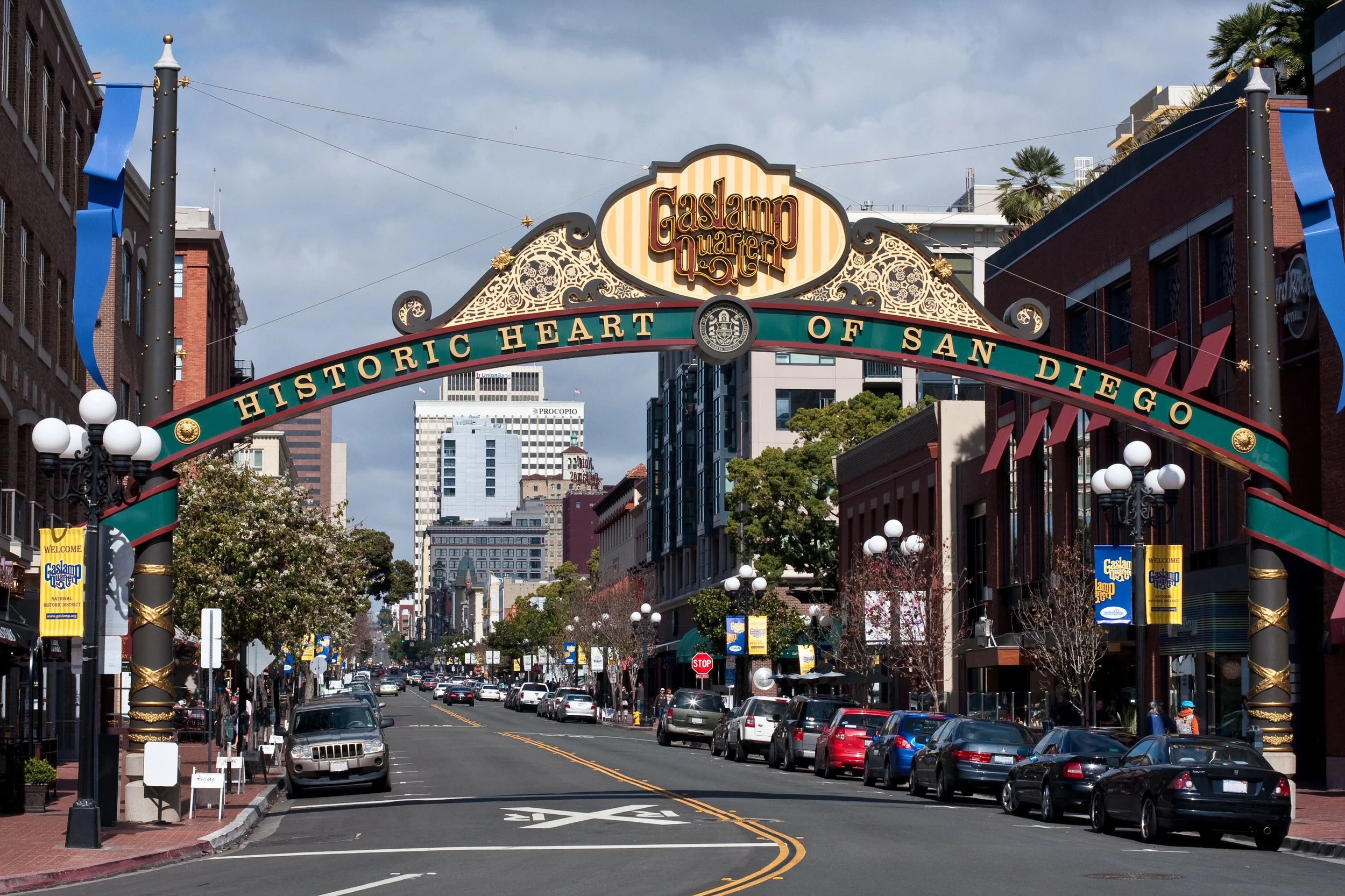
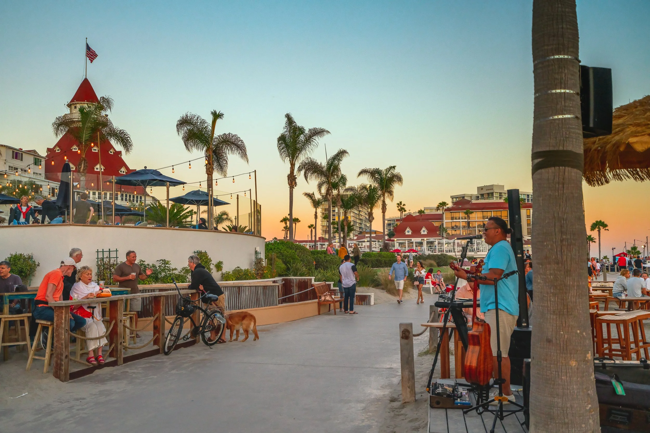
The city’s historic district, beaches and waterfront should all be part of your exploration before continuing north.
San Diego to Santa Barbara—220 Miles (230 km)—Of Course Los Angeles is between these two stops and that means traffic. Let your navigation system pick the best route through the city, but consider trying to pick up Route 1 through Malibu and pick up Route 101 through Ventura and on to Santa Barbara. This route gives you the best views of the Pacific.
Stop 2—Santa Barbara
Santa Barbara sits between the Santa Ynez Mountains and the Pacific Ocean. Predominant westerly winds give the city one of the most pleasant climates in North America. The city beaches and nearby mountains provide numerous recreational options during your stay.
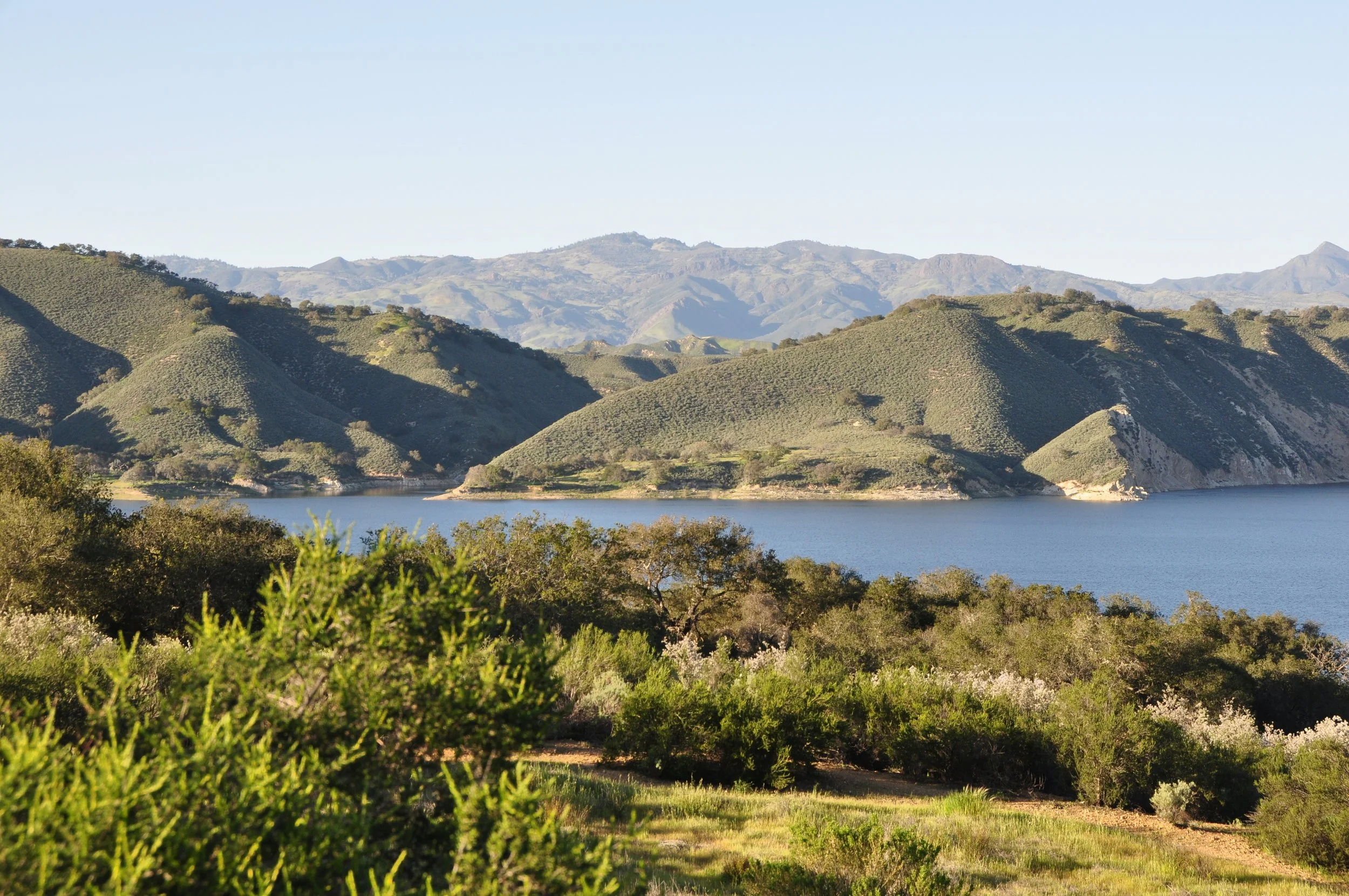
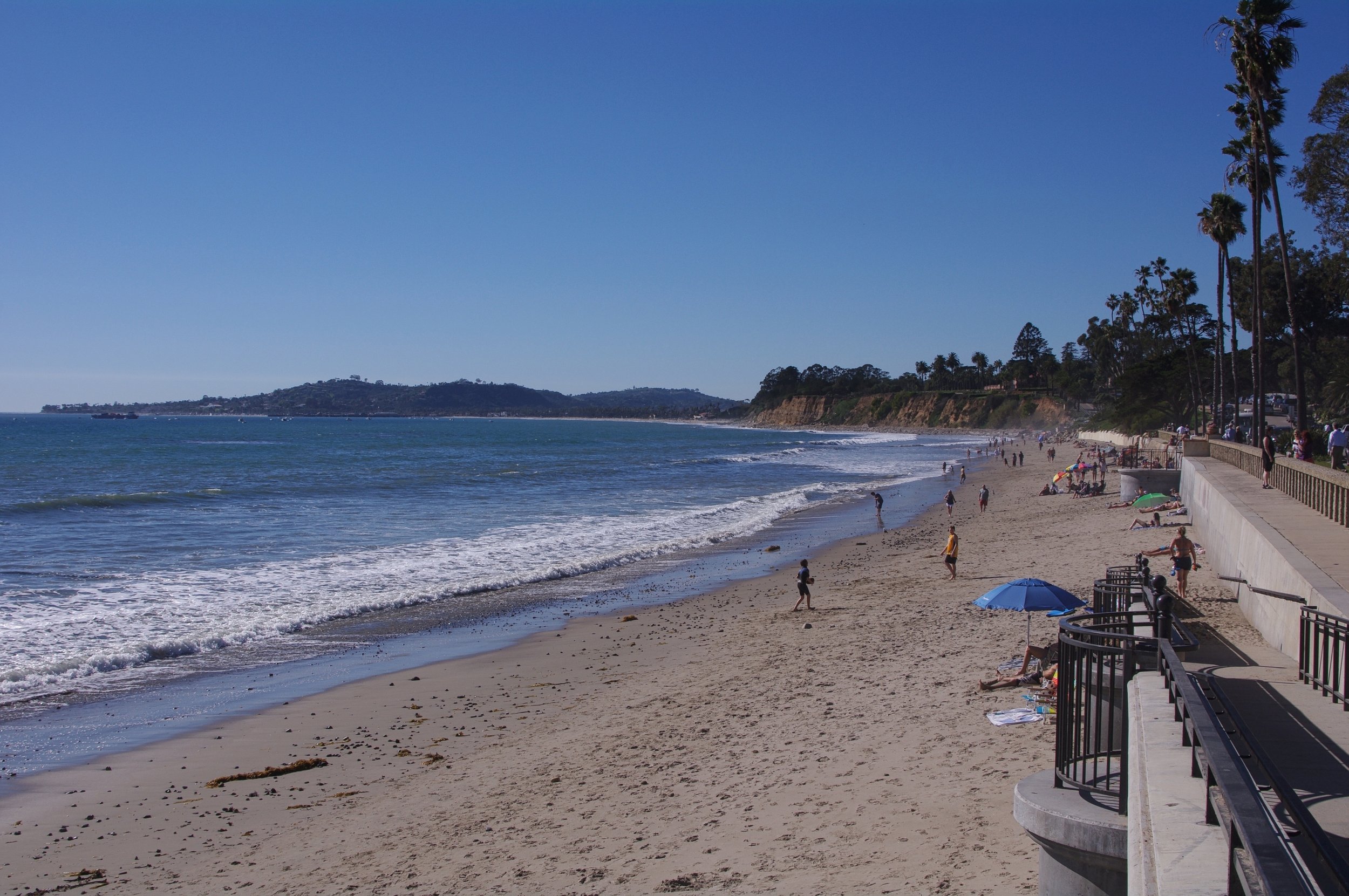
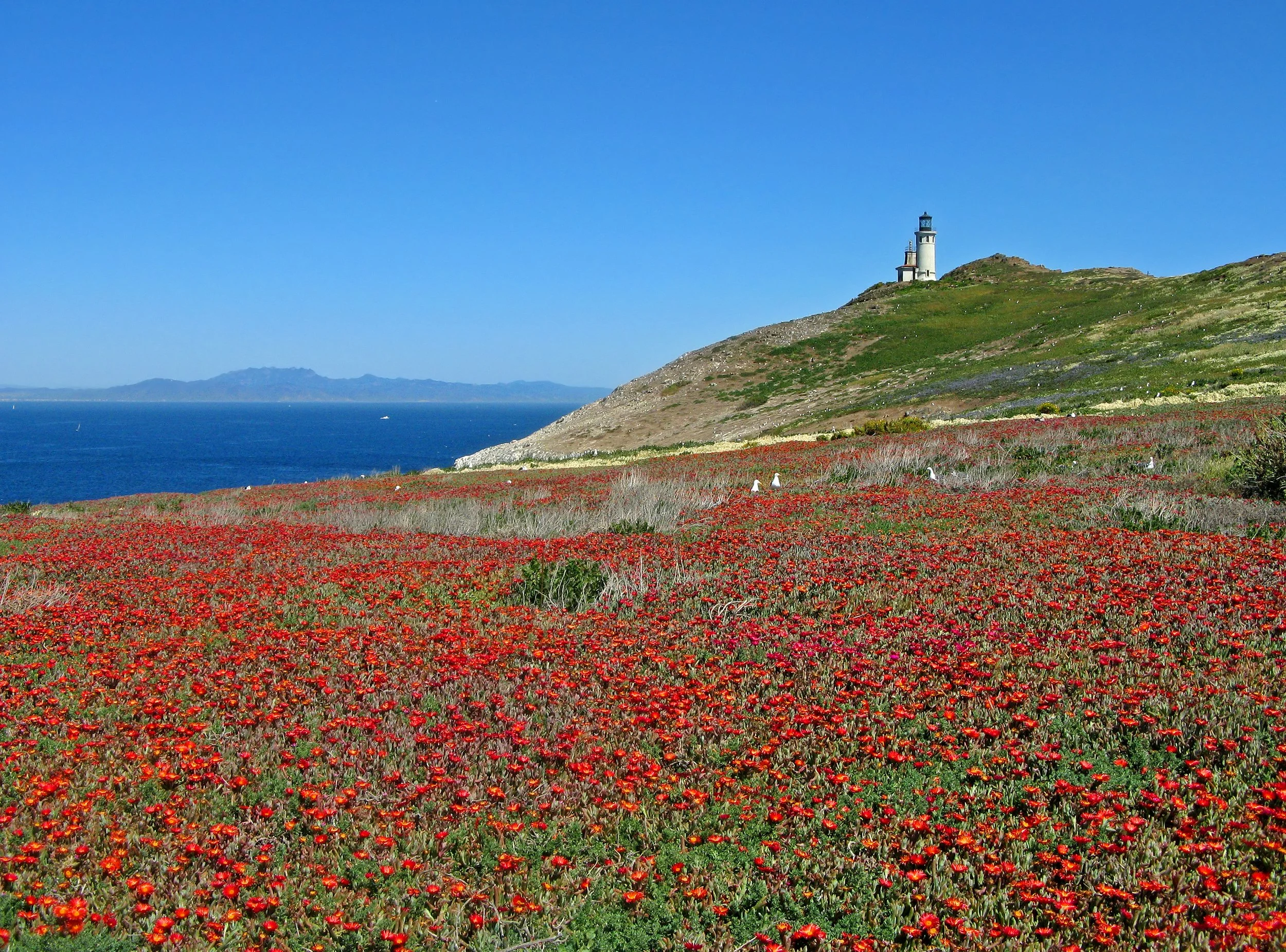
A primary regional attraction is Channel Islands National Park sitting just off the coast. Boats to the park run out of Santa Barbara.
Santa Barbara to Monterey—230 Miles (370 km)—Route 1 between Santa Barbara and Monterey is known as the Cabrillo Highway. It hugs the coast for most of the drive. The final section runs through Big Sur and some of the most famous views on the west coast.
Stop 3—Monterey
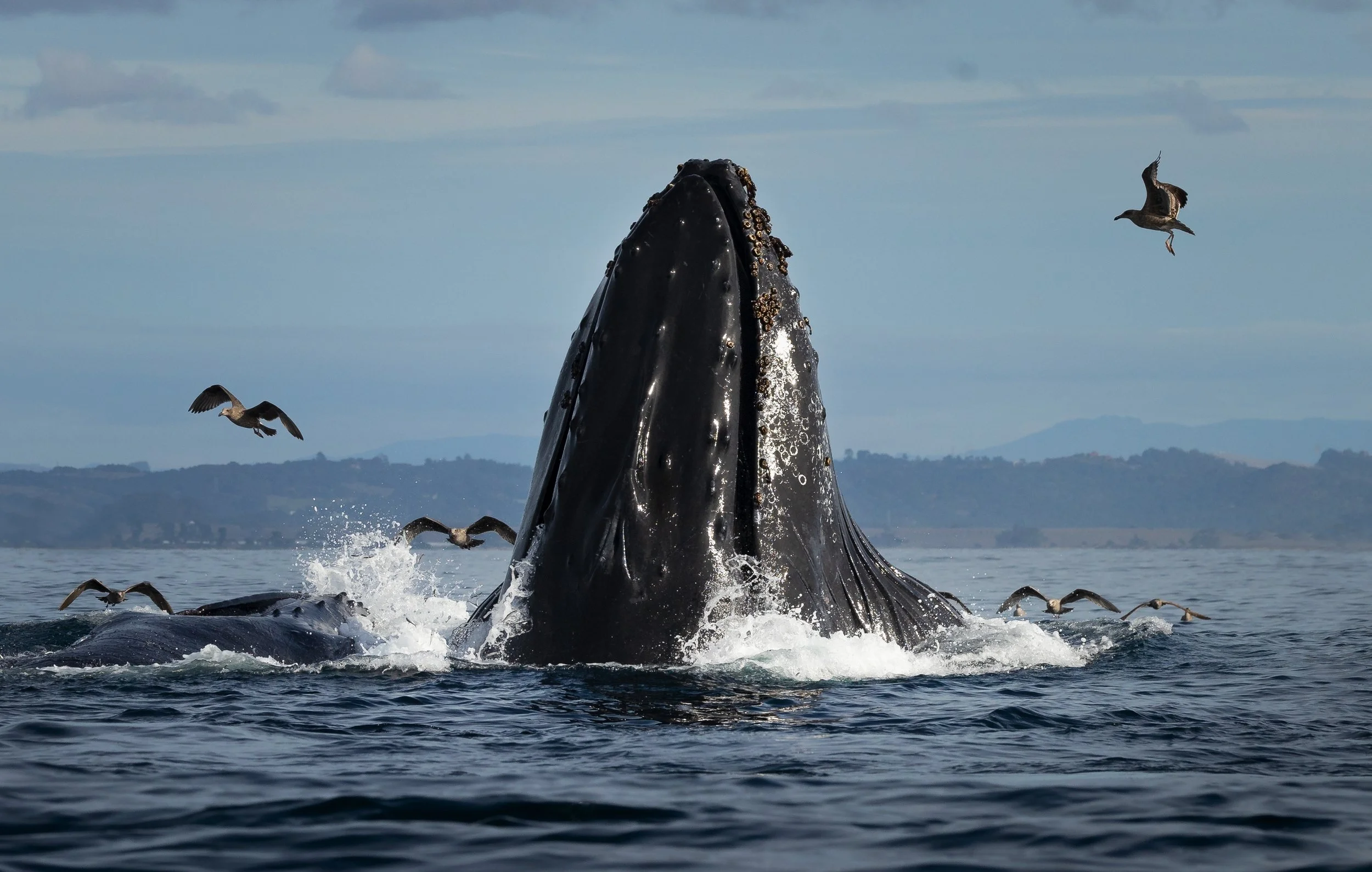
Monterey Bay is, in fact, a large underwater canyon and home to a wide variety of marine life, which includes: sea otters, harbor seals, elephant seals, bottlenose dolphins and a variety of whales. It is common to see many of these as you explore the coastal areas of the bay.
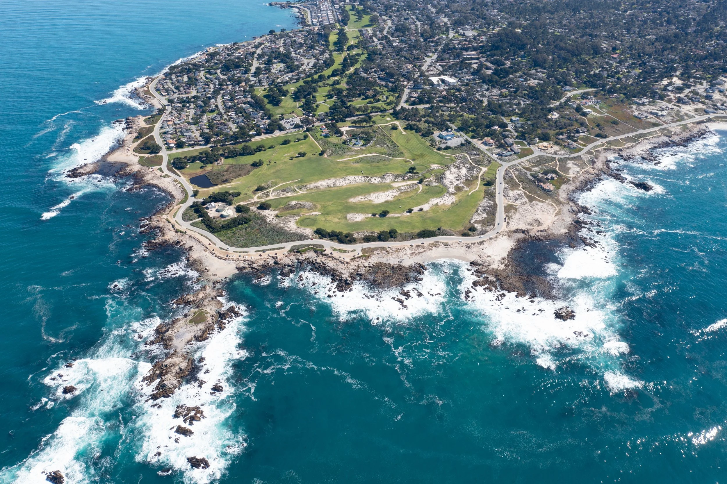
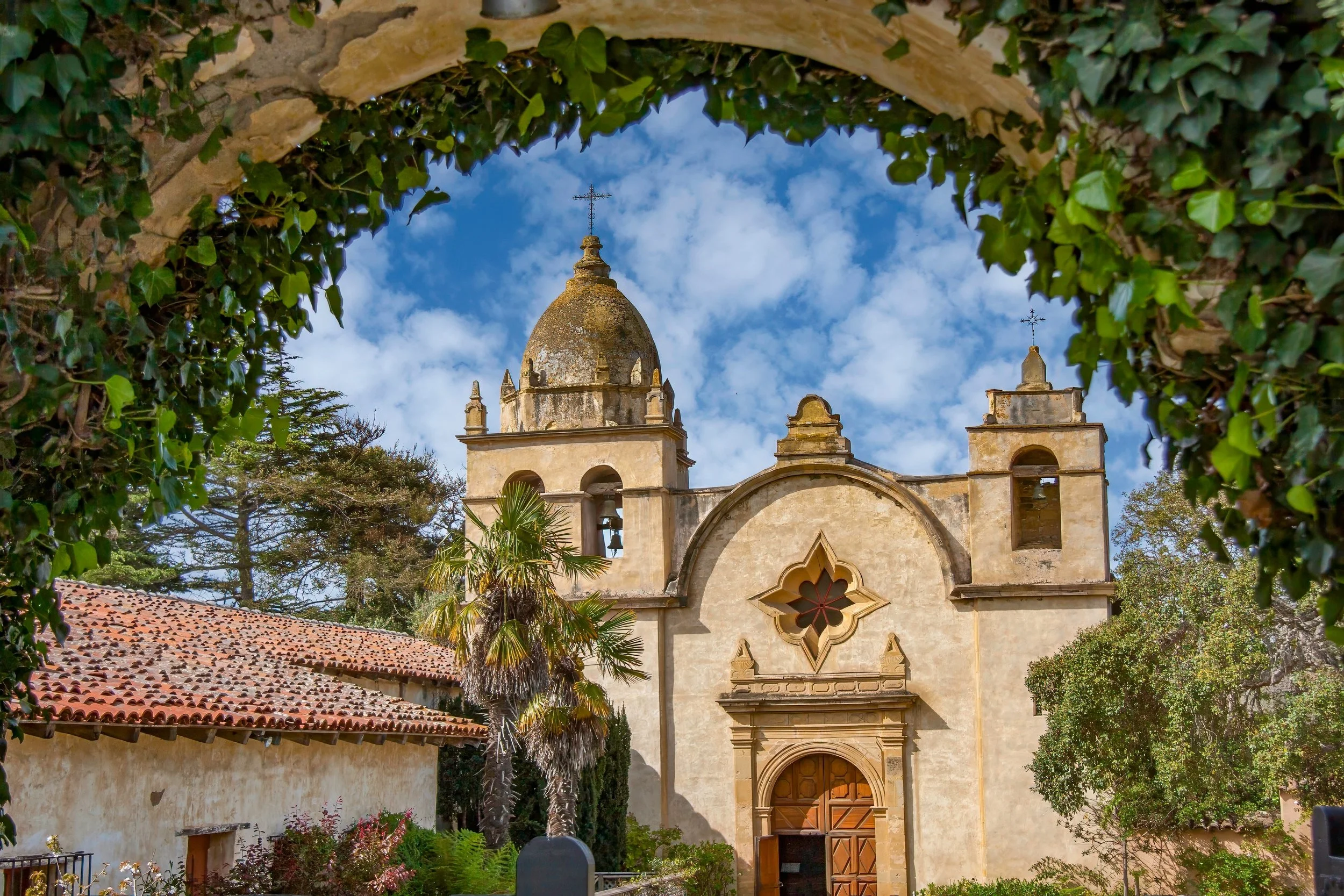
Just south of is the charming town of Carmel by the Sea, typically referred to as simply “Carmel,” this part of Monterey Bay was an old Spanish settlement and some signs of that influence are still visible. Today the town government has pursued a strategy of preserving the beauty of the coastline and the and the old town. This makes it one of many regional must-see stops.
Monterey to Point Reyes National Seashore—290 Miles (465 km)—This section of Route 1 runs north through the Presidio of San Francisco and across the Golden Gate Bridge. It then continues through a section of the Golden Gate National Recreation Area and around Muir Woods before arriving at Point Reyes.
Stop 4—Point Reyes National Seashore
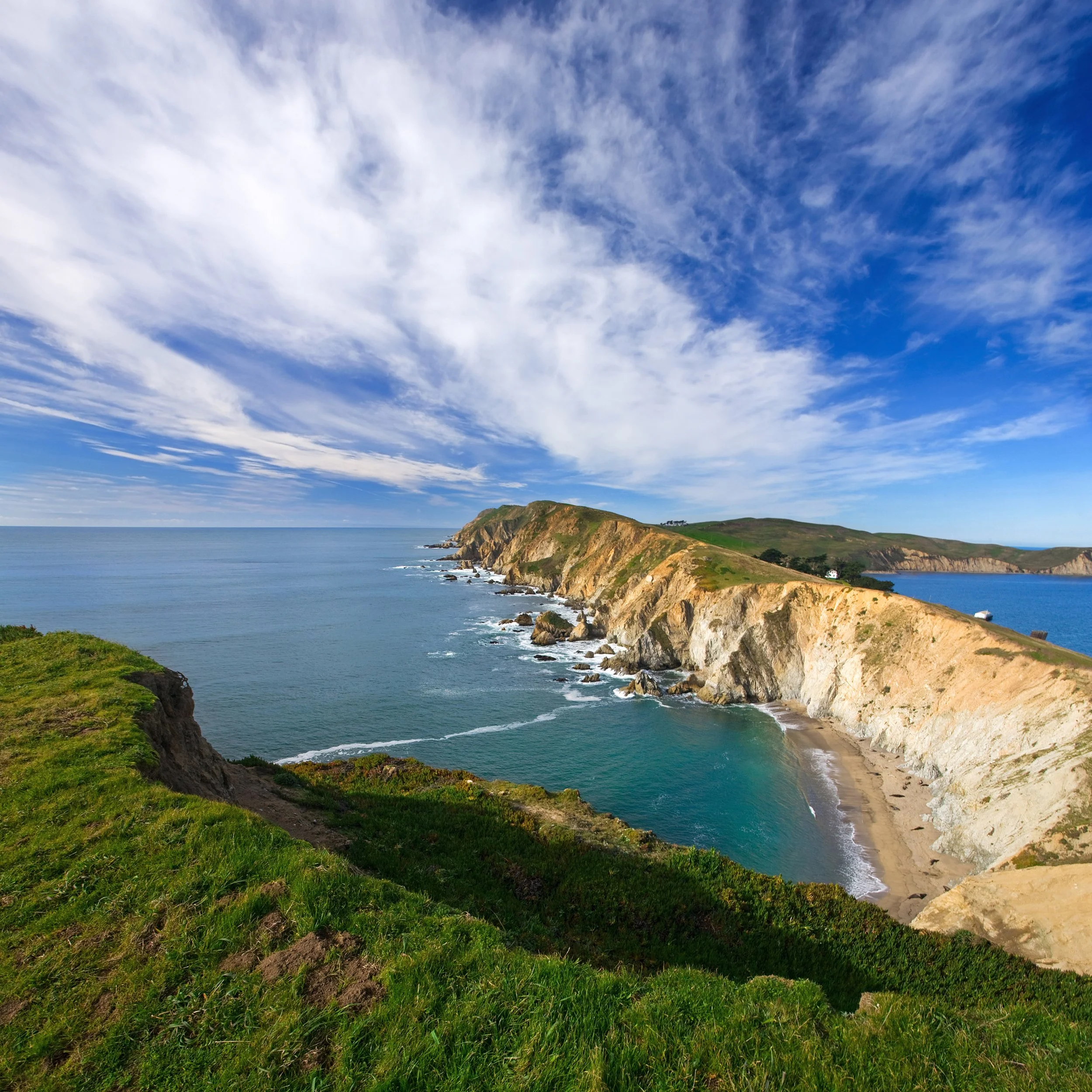
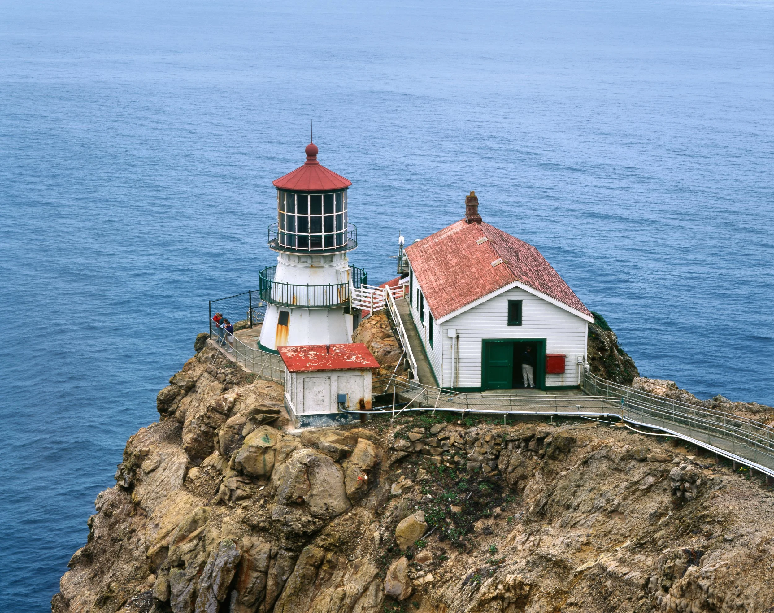
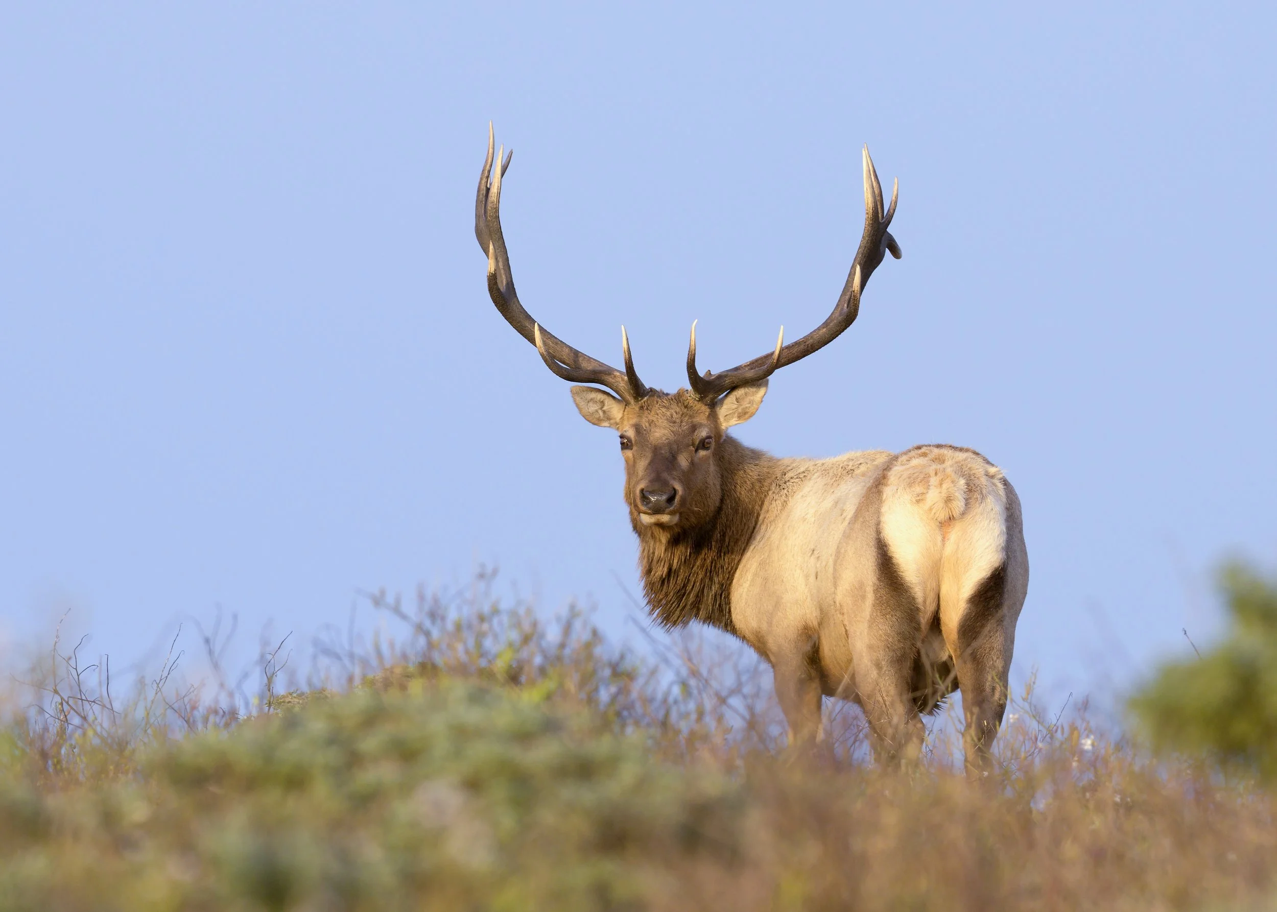
Point Reyes National Seashore preserves a section of California coastline north of the bay area. The area is rich in shore birds. It is common to see both elephant seals and tule elk (which have a reserve on the peninsula and are only found in California). Aside from wildlife viewing, hiking, fishing, kayaking and biking are popular activities.
If you have time, consider driving into Napa and Sonoma to visit one of America’s premier wine destinations.
Point Reyes National Seashore to Mendocino—150 Miles (240 km)—This section of Route 1 is known as both the “Coastal Highway” and “Shoreline Highway.” It offers fabulous views of the Pacific Ocean.
Stop 5—Mendocino
Mendocino County is no one-trick pony. Its stunning coastline and Mendocino National Forest combined with local wineries makes this an exciting destination with a multitude of possibilities.
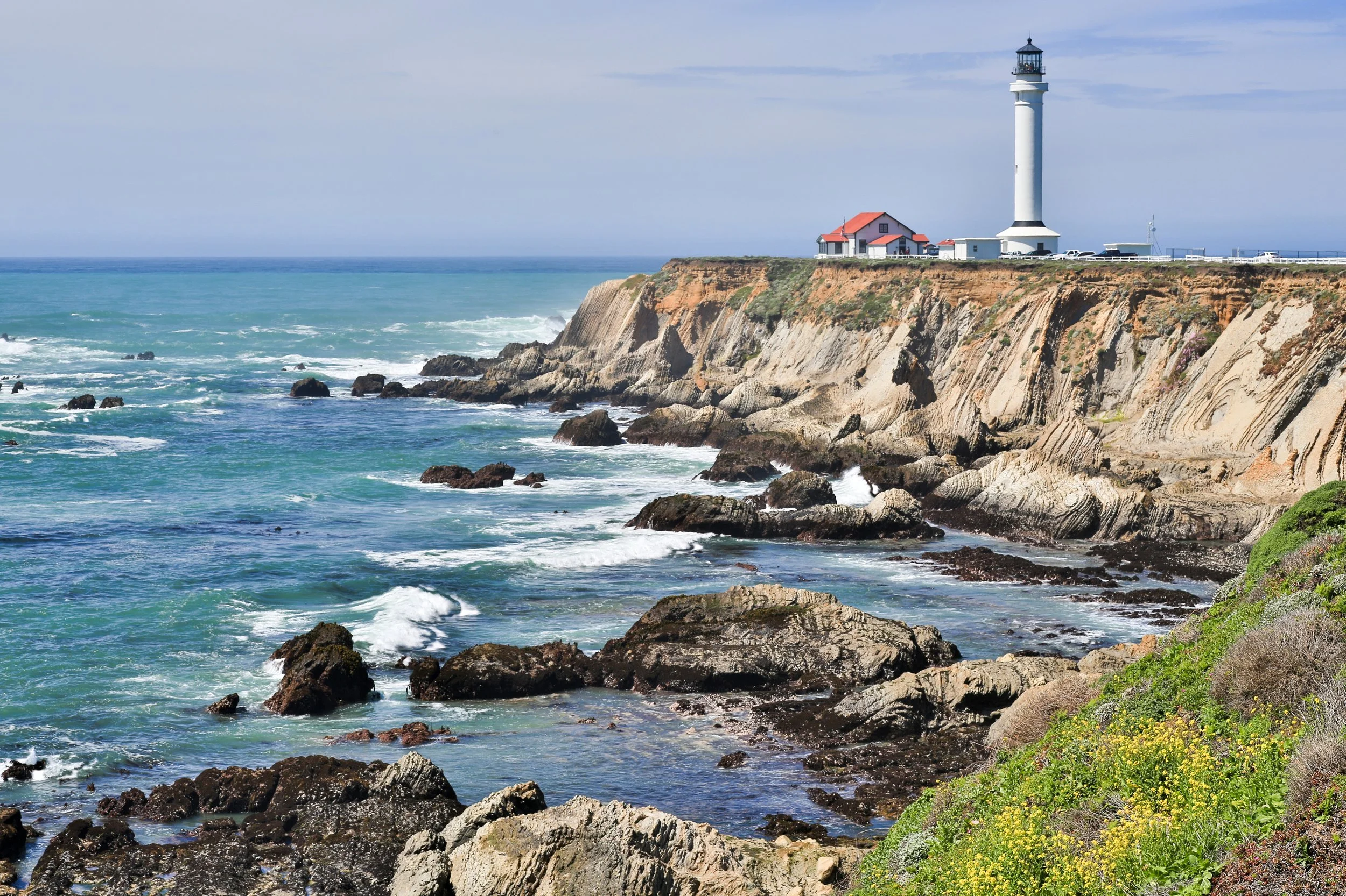
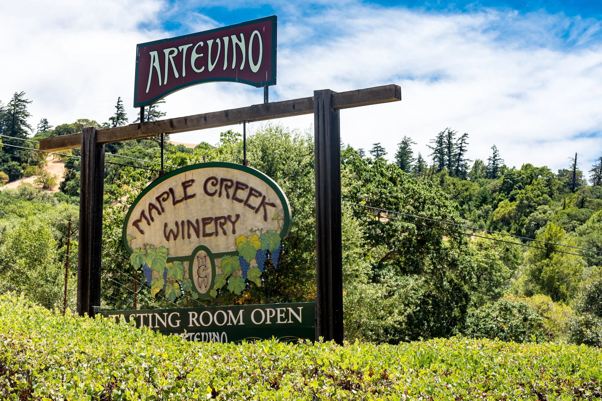
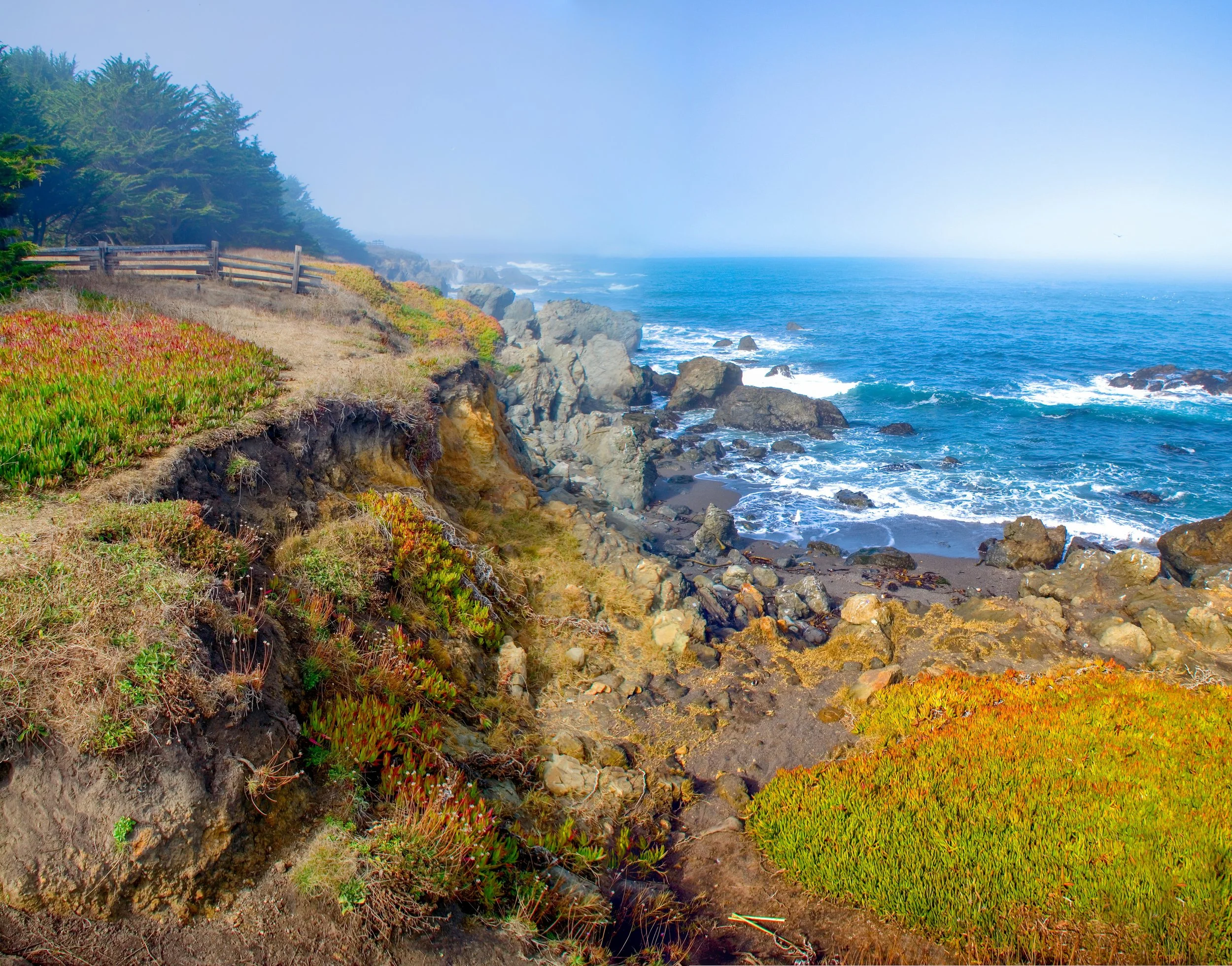
Whether you are interested in a day at the beach, exploring the many points of interest along the coastline, hiking in the mountains or checking out some of the local wine, it’s all right here.
Mendocino to Crescent City—225 Miles (360 km)—This drive begins along the coast with the Mendocino Mountains to the east. It then continues north through the rolling hills and redwood forests before returning to the coastline and on to Crescent City.
Stop 6—Crescent City
This section of coastline in Northern California is a balanced combination of developed and protected lands. The remaining stands of redwoods are preserved by the state and federal governments. Beaches, wild rivers, steeply forested coastline and vast wilderness share the coast with cities and towns like Kalamath, Crescent City and Eureka. Visitors can expect to discover local history, spectacular views and unspoiled backcountry.
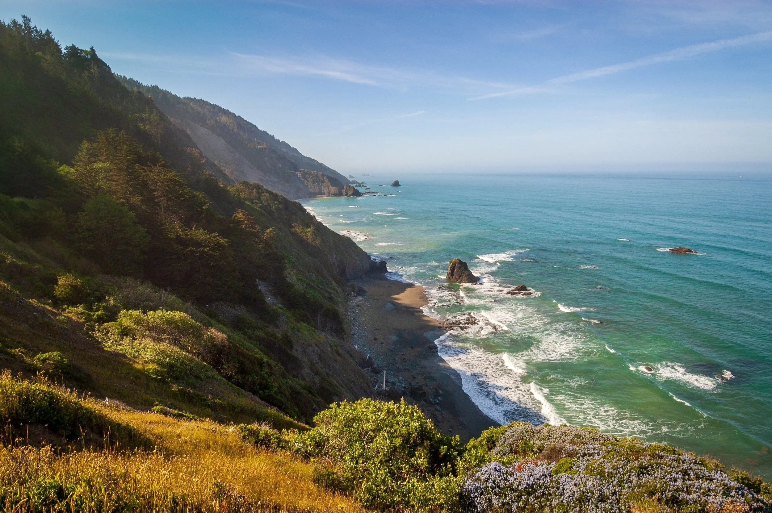
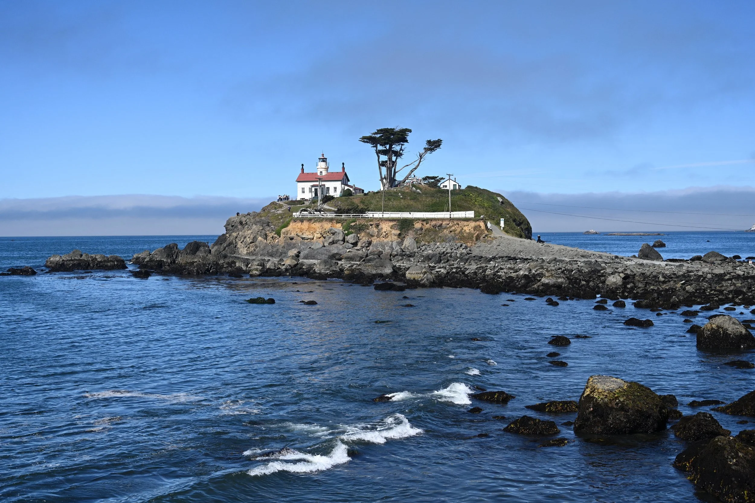
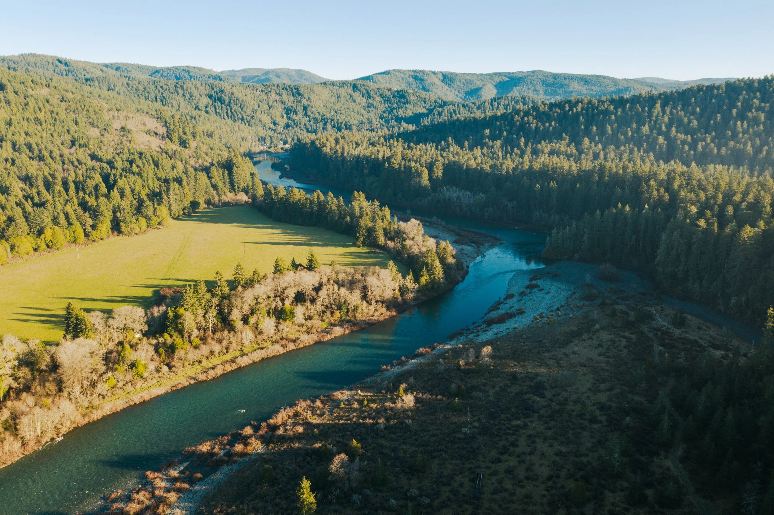
Crescent City to Garibaldi—305 miles (490 km)—This route follows Route 101 along the stunning Southern Oregon Coast, with its many cliffs and beaches. It ends around Garibaldi, which is in the middle of the many Northern Oregon points of interest.
Stop 7—Garibaldi, Oregon
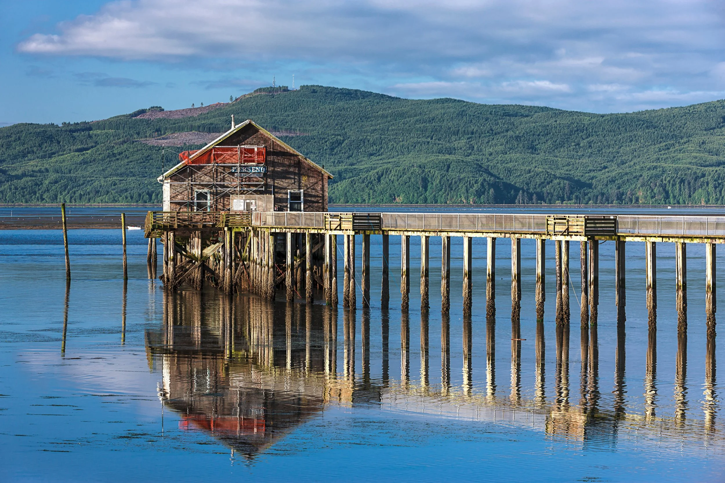
Garibaldi is another of the many quaint port towns that you might encounter. The old Coast Guard pier is now used primarily for fishing, but it is one of the most photographed structures along this section of the coast.
Located on the southern shore of the Columbia River, Astoria is the oldest city in the Oregon and the first American settlement west of the Rockies. Founded in 1811 and incorporated in 1876, Astoria remains an important deep-water port.
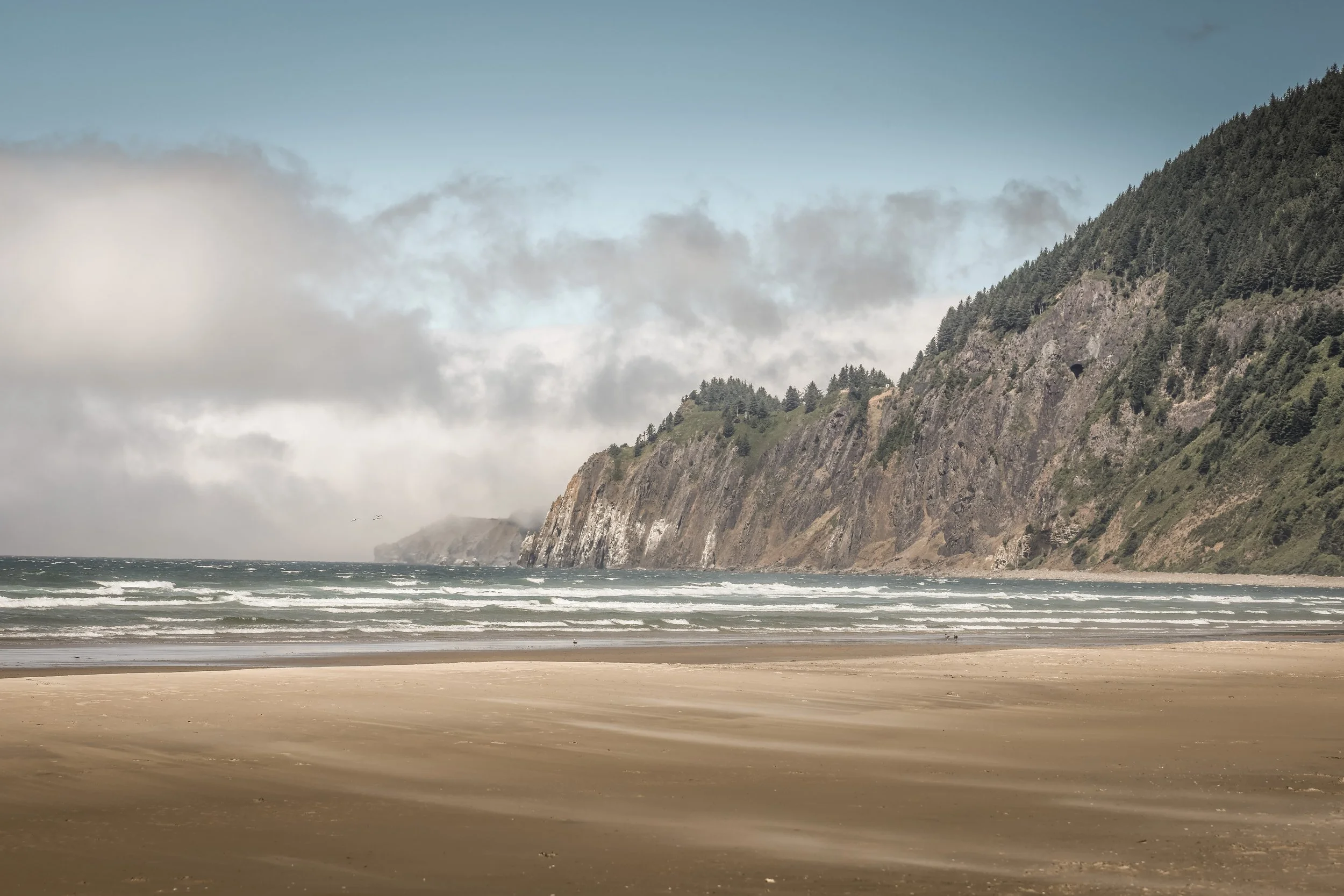
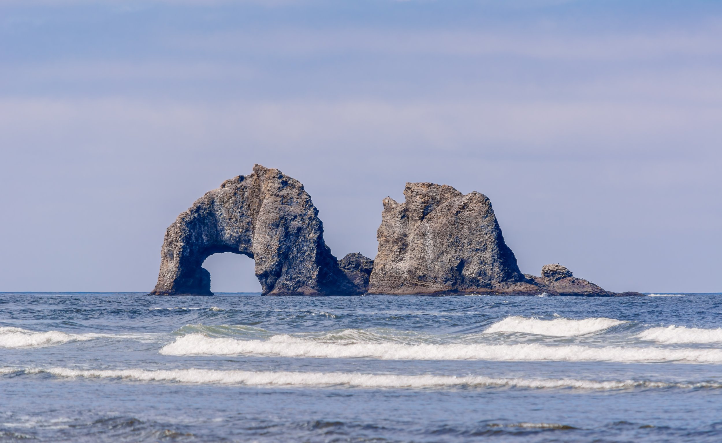
Many of the beaches are more than just family-friendly places to sunbathe. Cannon Beach was described by National Geographic as one of the 100 most beautiful places in the world. Rockaway Beach is another of the truely photo-worthy spots along the coast.
Garibaldi, Oregon to Forks, Washington—240 miles (390 km)—Route 101 is the most direct and leads past sections of coastline before depositing you at your base for further exploration. The Forks, Washington is central to a state park and several national park campgrounds.
Stop 8—Olympic National Park
Coastline, old-growth forests and mountain glacier fields make up the diverse ecosystems protected by Olympic National Park. Olympic has been a national park since 1938 and was recognized as a UNESCO World Heritage Site in 1981. To further protect this fragile region, Congress declared 95% of the park as wilderness, making it the largest wilderness in the state.
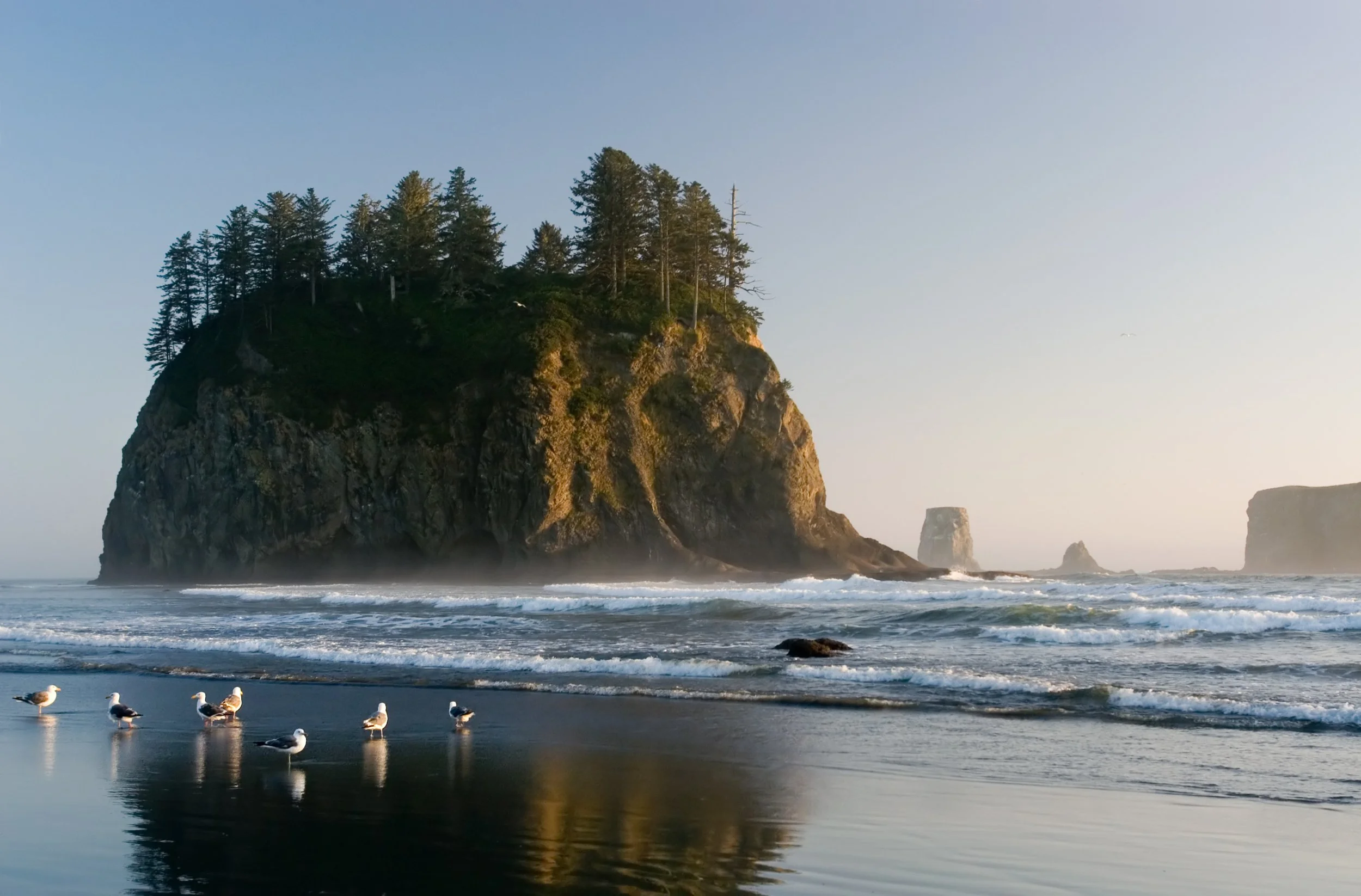
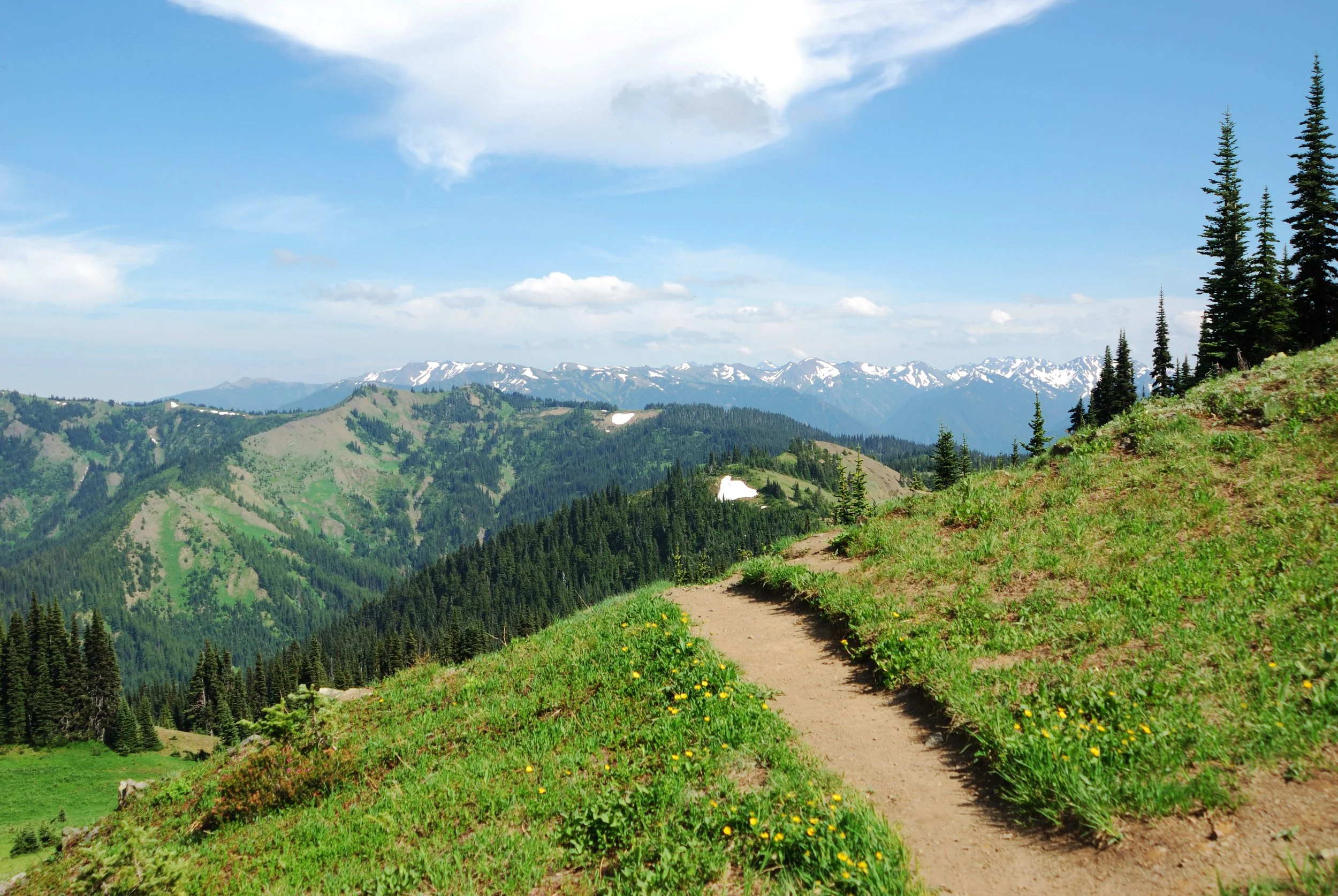
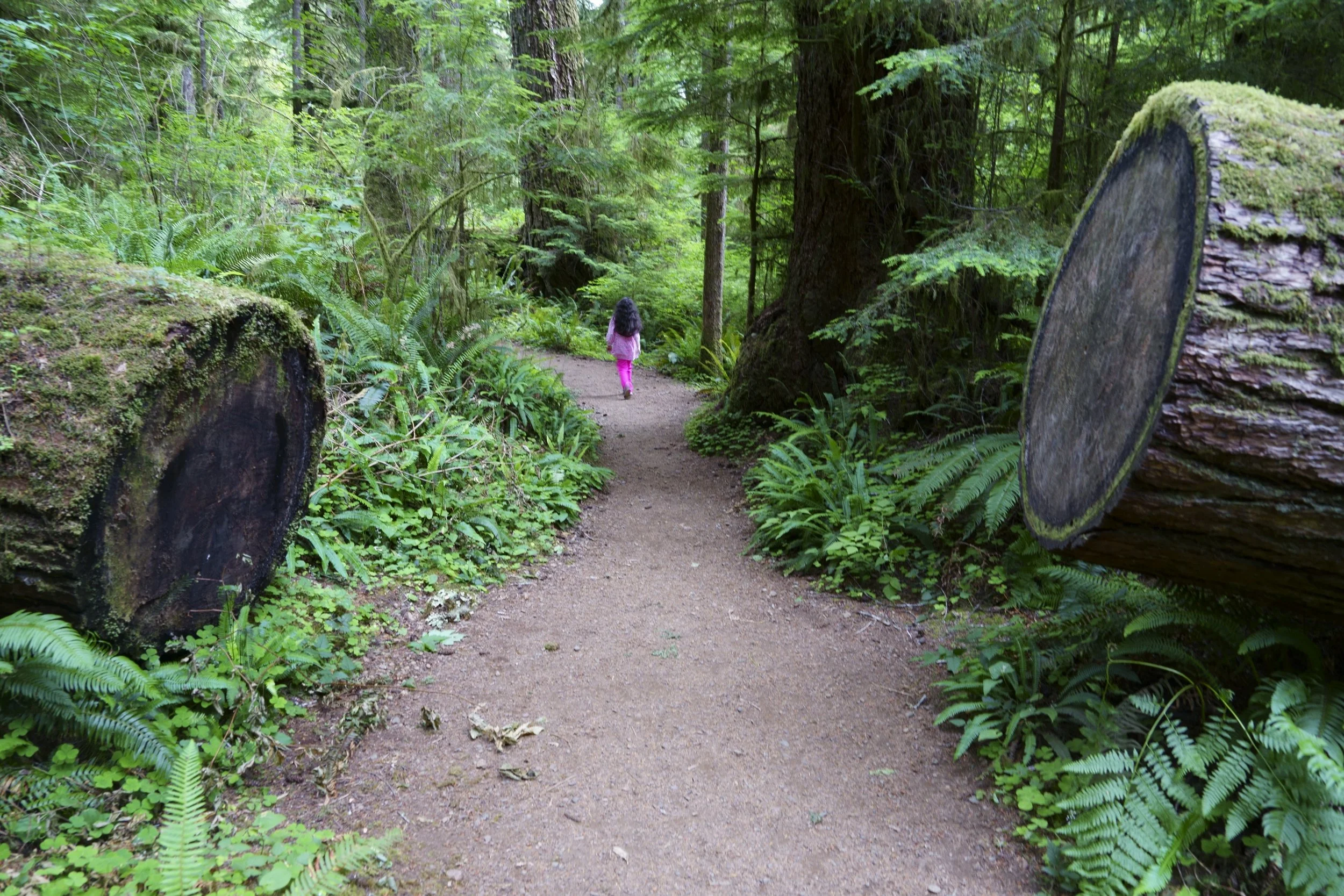
Due to so much of the park being wilderness, there are almost no roads into the interior. So most recreational opportunities occur around its perimeter. Fishing, boating and hiking are a few of the possibilities.
Possible Variations
Take the ferry from Port Angeles, Washington to Victoria, British Columbia and continue to explore northward through Vancouver Island.
Travel the coast from north to south and continue into the Baja Peninsula. Consider wintering in Cabo.