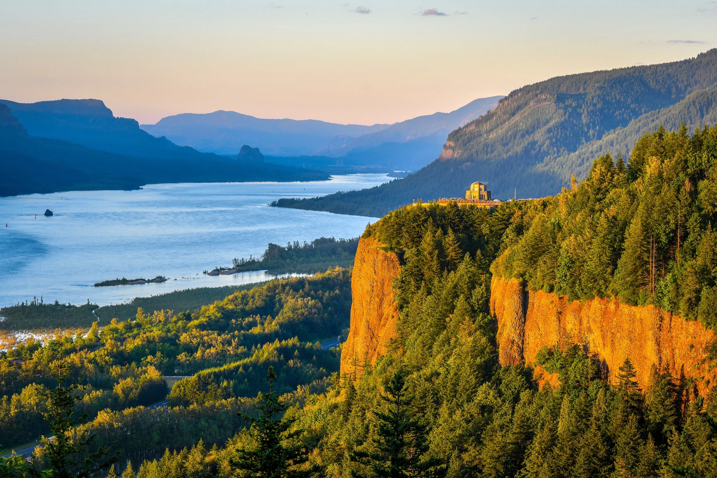
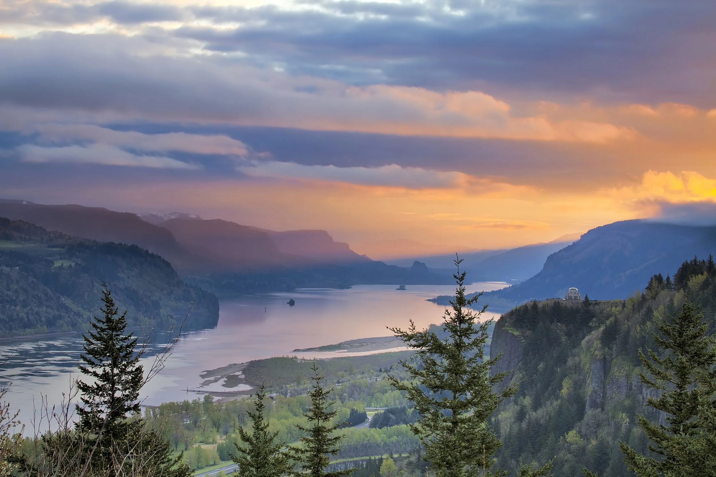
Columbia River Valley
This itinerary could more accurately be called the Mount Hood and the Columbia River Gorge, but that’s a long title. In any case, based on the proximity of Mount Hood, it is a place that should be visited along with the gorge and could take multiple days to explore.
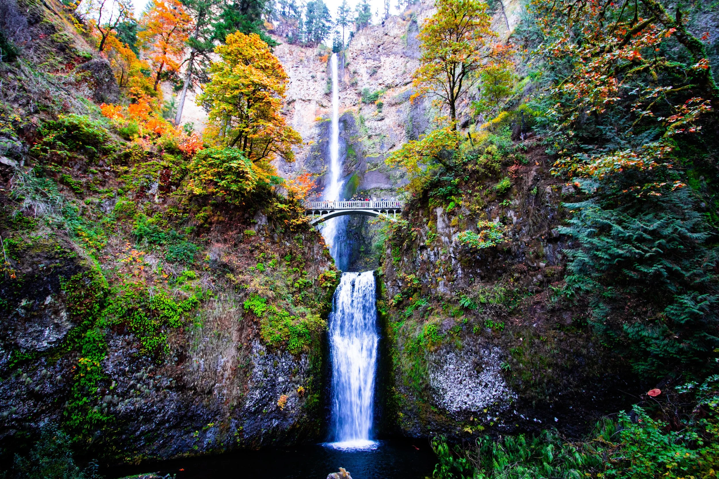
This section of the Columbia River is known for its steep cliffs, waterfalls and wineries. There are points of interest on both sides of the river.
Here are some of the things the region offers:
Columbia Gorge National Scenic Area
On the Oregon side, the Columbia River Scenic Byway extends 75 miles through the Columbia River Gorge from Troutdale to The Dalles. This historic route provides stunning views of the valley and access to the bridges, viaducts and tunnels that made this road an early-20th-century engineering marvel.
Wine Regions
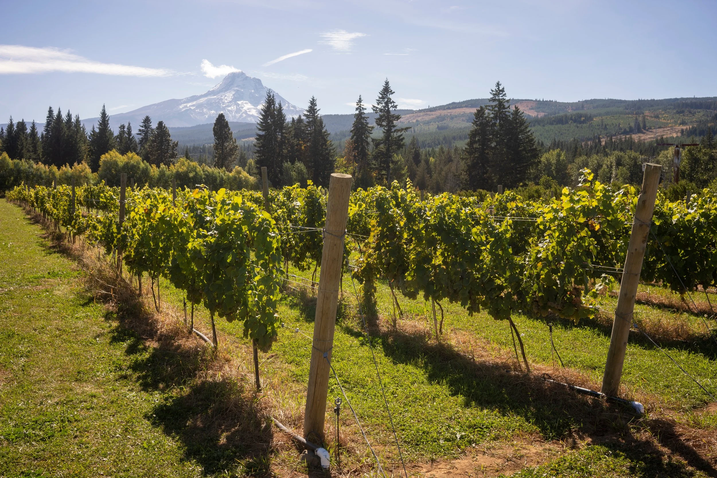
Both the Columbia and Hood River Valleys are large wine producers. The Hood River is a tributary of the Columbia. There were simply too many to add to the interactive map, this Wineries of the Gorge site is a useful resource.
Mount Hood
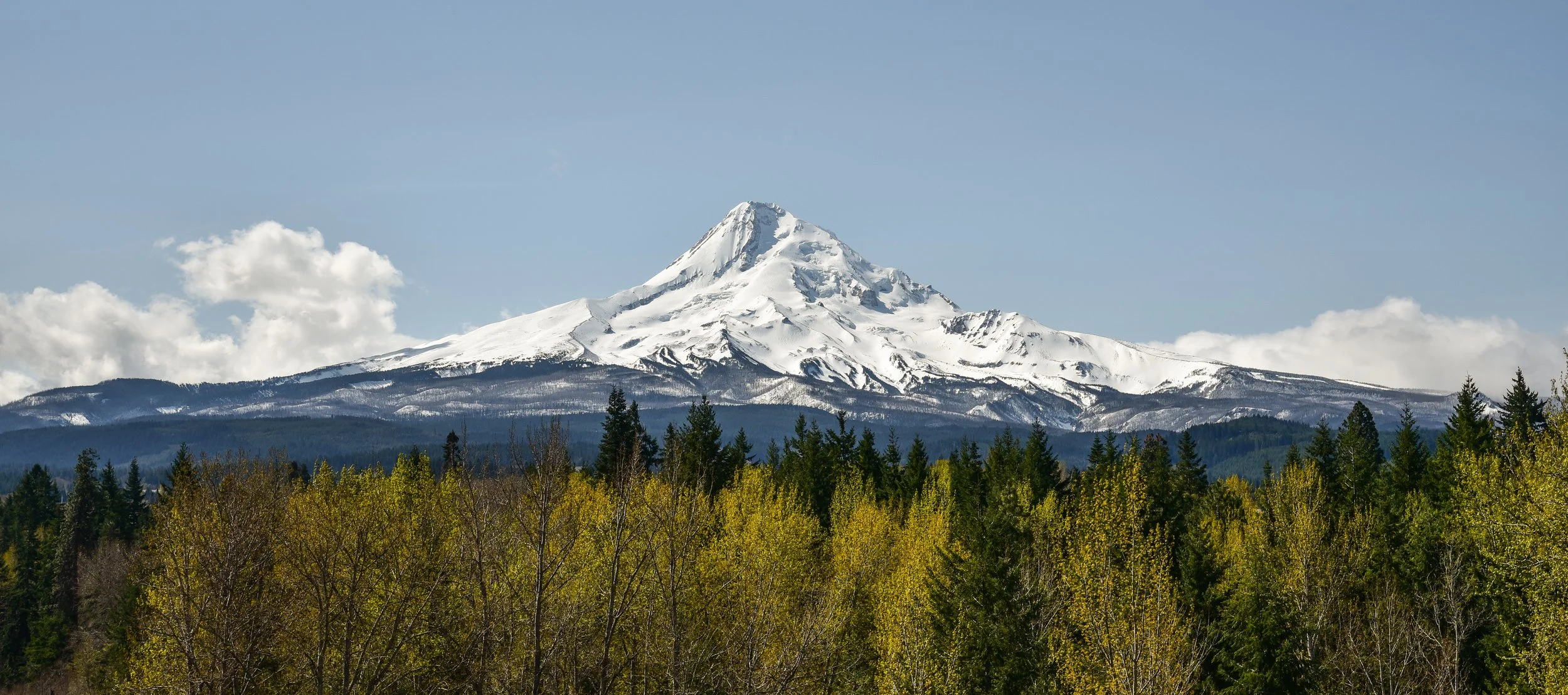
Mount Hood is technically an active (but technically dormant) volcano and part of the Cascade Volcanic Arc. The mountain is more that 11,000 feet tall and its slopes include 12 named glaciers. So there is snow and ice year round.
Located inside the Mt. Hood National Forest and administered by the U.S. Forest Service, Mount Hood National Recreation Area area does not include Mount Hood but does offer opportunities for exploring areas around the base. It offers opportunities for camping, boating, rafting, fishing, hiking, horseback riding and skiing.
Fort Vancouver National Historic Site
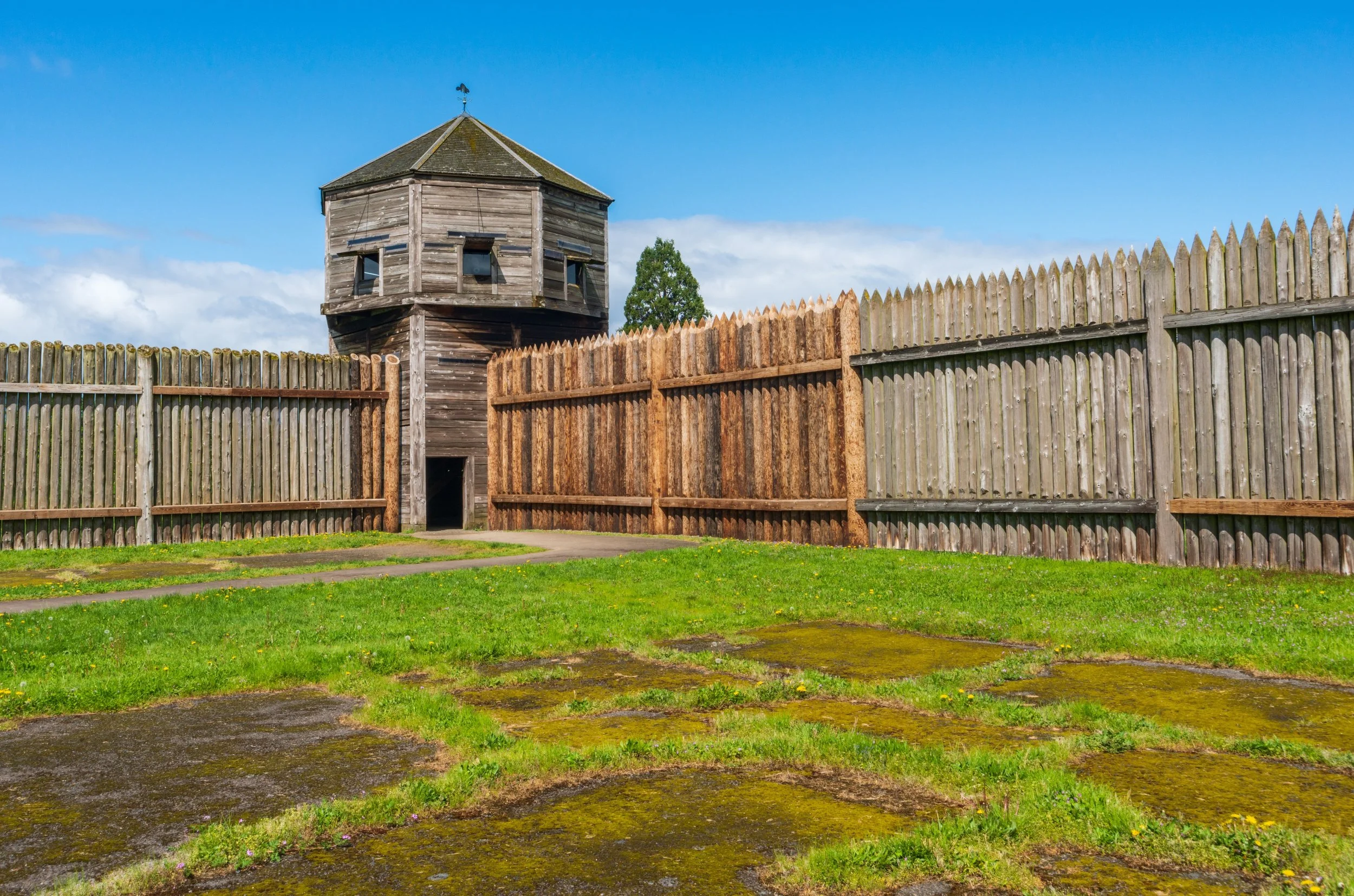
Fort Vancouver National Historic Site was originally constructed as a fort and fur trading post. The fort served well into the 20th century as an Army Air Corps airfield in World War II and was later an Army Reserve base before its retirement after continued military use from 1849 to 2012.