Dempster Highway—Yukon and Northwest Territories
Interactive Map
Planning Tips
There are government campgrounds spread along the entire route. Only a couple near Inuvik have hookups. So most of the route is dry camping.
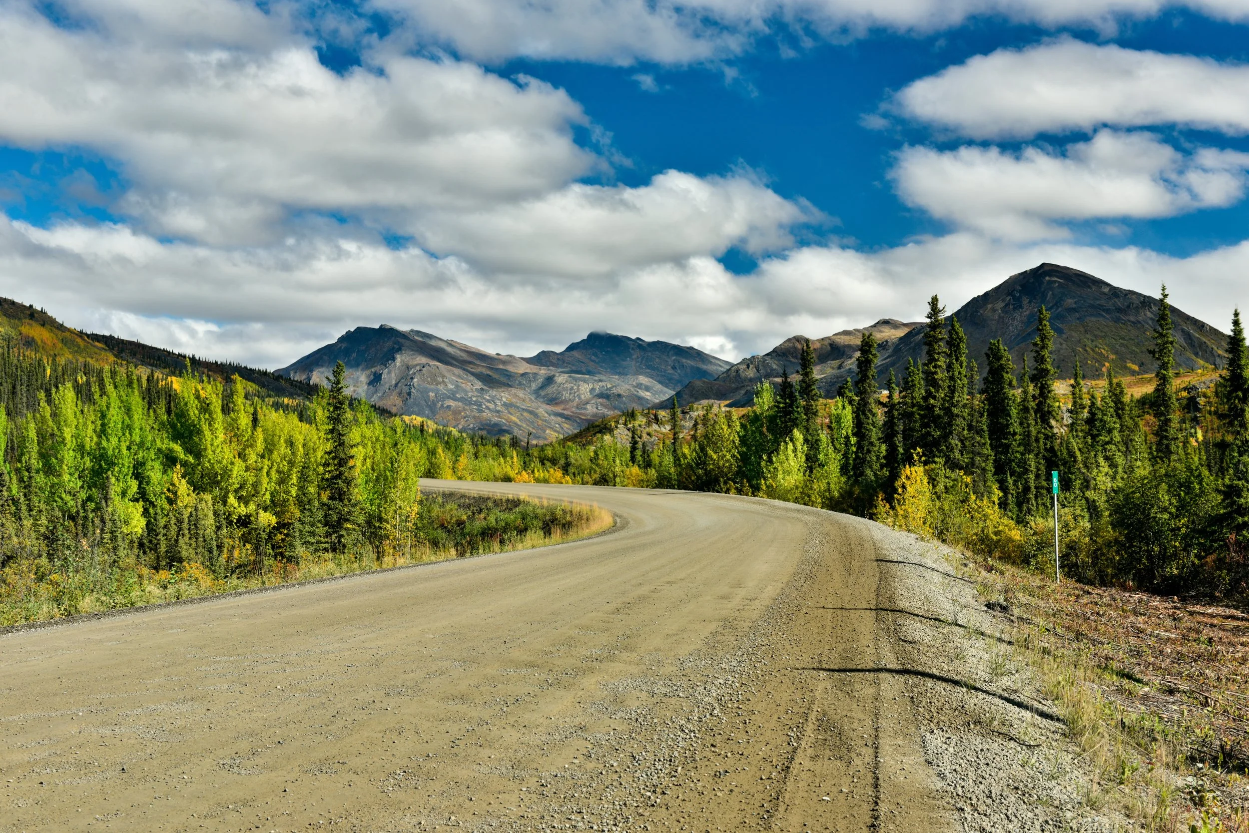
This is a remote route and, depending on weather conditions, the gravel road can offer challenges. So pack what you need and be sure to carry good spare tires.
A handful of small towns along the route will offer service and entertainment options. Dawson city and Inuvik are the most substantial, but Fort McPherson and Tuktoyaktuk will serve basic needs.
Highlights
This drive may be the ultimate road adventure in North America. Following what was once a dog-sled route, this journey takes travelers into the Arctic Circle and then on to the shores of the Arctic Ocean.
Dempster Highway extends through a geologically-diverse, winding corridor. It passes through the Richardson Mountains, crosses several major rivers, navigates the Arctic tundra, passes the pingo permafrost hillocks of the far north and terminates with an ocean view.
The territories are also home to many first-nation peoples. This offers the unique opportunity to experience traditional arts, crafts, food and cultures.
A variety of wildlife can be seen along the road. Large mammals that may be seen during the journey include caribou, moose, grizzly and black bears.
This drive to the top of the world really is the very definition of a bucket list trip.
Video
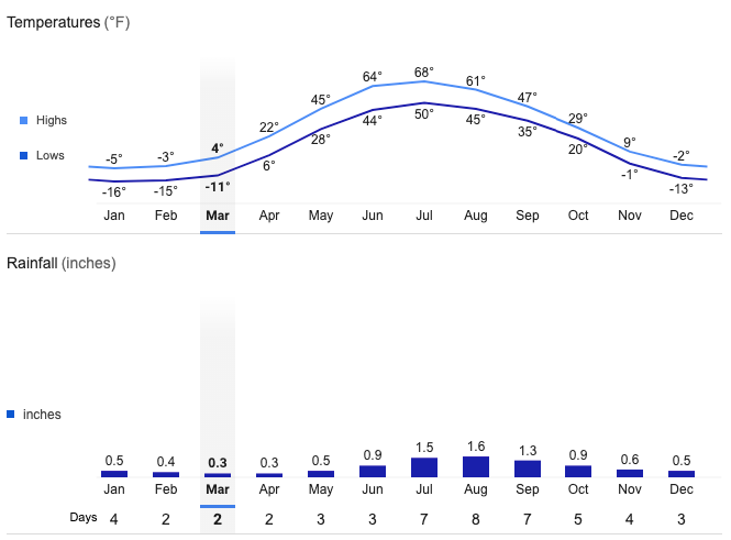
Inuvik Average Temperatures and Rainfall