Trans-Labrador Highway
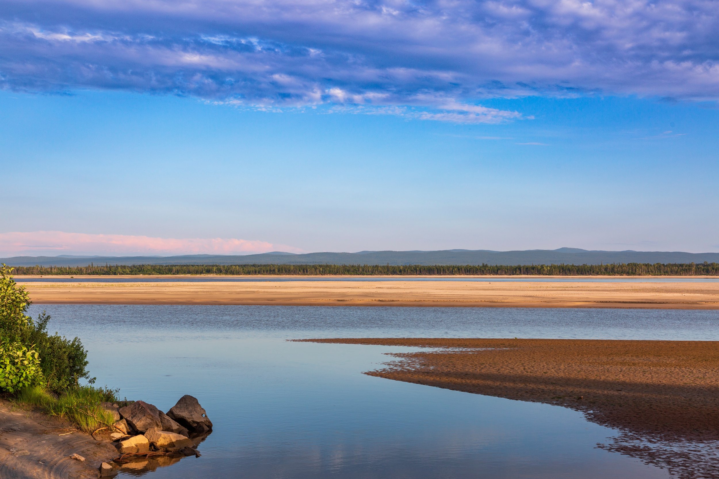
This route through Labrador is roughly 715 miles (1150 km) of paved highway. The roadway traverses remote wilderness and expanses of sub-arctic tundra with no services offered outside of the handful of small towns and settlements. The very nature of its remoteness is its attraction. It represents one of the last opportunities for a true wilderness experiences available in Eastern North America accessible with a recreational vehicle.
Here are a few of the stops and sights you will encounter along the way:
Red Bay National Historic Site & World Heritage Site

Shelter offered by Saddle Island makes this site a natural harbor. Beginning in 1530, Basque whalers developed and used Red Bay as a whaling station. It is the best preserved remnant of the European whaling industry from this period.
Mealy Mountains National Park and Preserve
This mountain range does not contain roads, but the Trans-Labrador passes near enough to see these highlands. The tallest of these peaks is just 1,180 m 3,900 feet (1180 meters), but it is a region of boreal forests, bogs, high sub-arctic tundra and coastal barrens.
Happy Valley-Goose Bay
This is the region’s largest town with a population in excess of 8000. Establishment of a Canadian Air Force Base was the catalyst for local growth. The peak of activity was during the Cold War, when other NATO countries shared the base. A subsequent reduction in forces created some uncertainty about the town’s future, but it is still a major stop along the way.
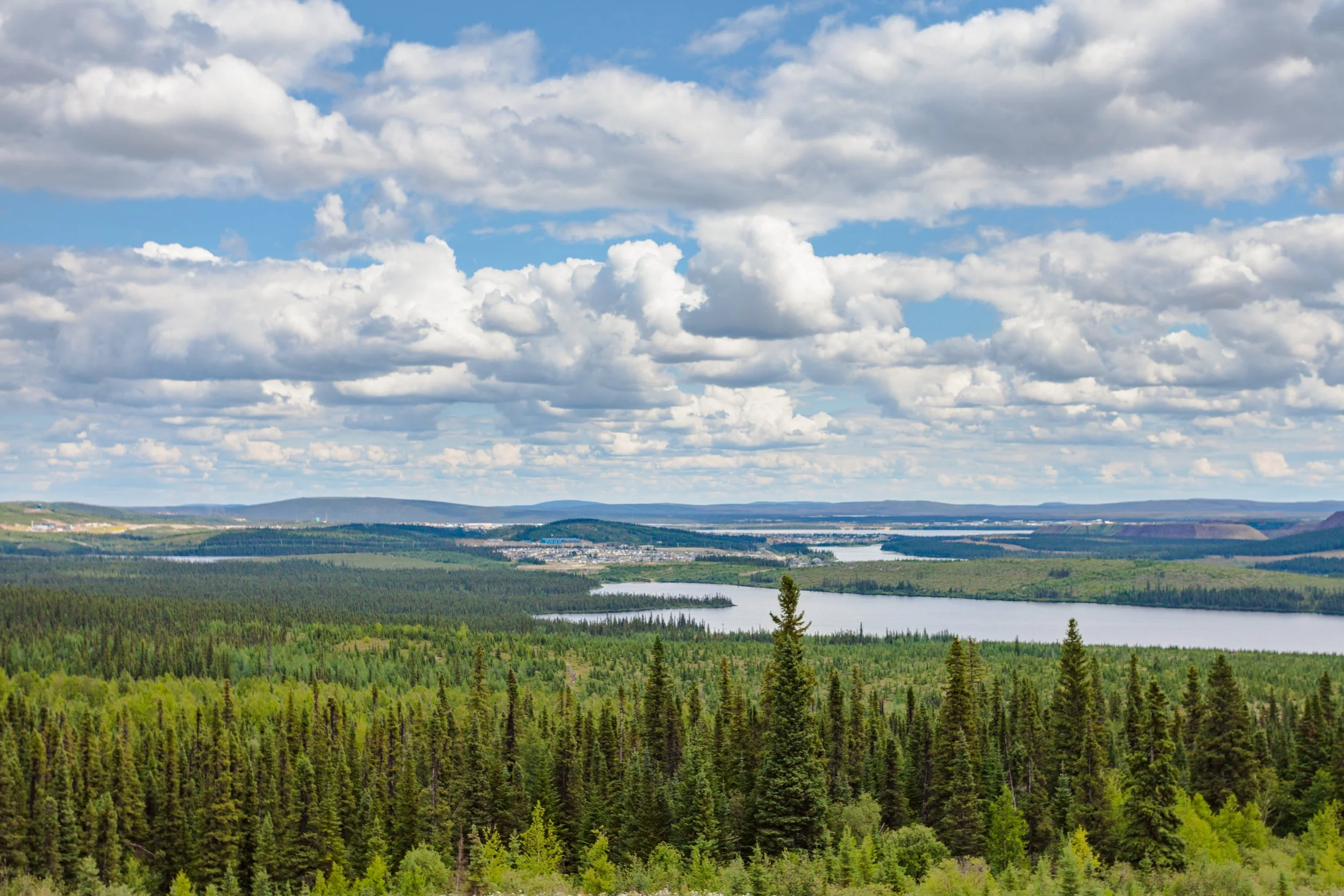
Labrador City
This is one of the larger municipalities on the Trans-Labrador. A regional center for iron mining, investments from that industry provided an infrastructure and amenities found in much larger towns.
Of course this is a fraction of what can be seen during the crossing. Fishing villages, lighthouses, and stunning coastline will dominate the Atlantic leg of the journey. The interior is dense wilderness comprised of tundra and boreal forests punctuated by small towns and villages.